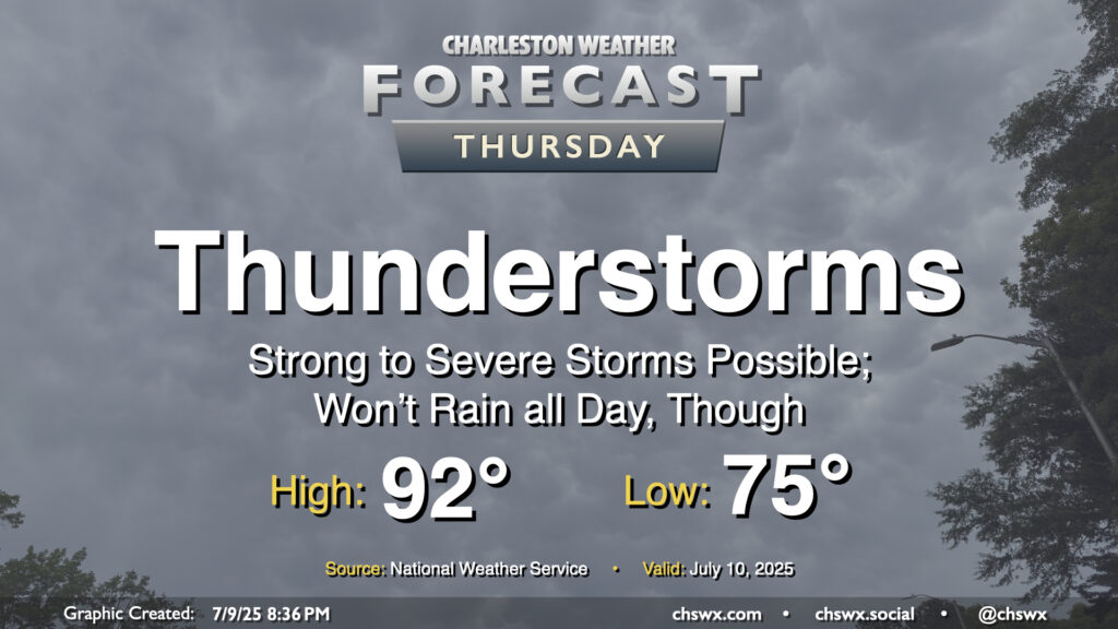
Another round of showers and thunderstorms is in the offing for Thursday as low pressure aloft continues to lumber through the area. A few of these storms could be on the strong to severe side, especially as the seabreeze pushes inland toward the 17-A corridor. Many of us should see storms on Thursday, with initiation possible by noon closest to the coast, moving inland as the day goes on. The main concerns will be damaging wind gusts, but some hail may be an issue, too. There will also be the risk for locally heavy rain potentially causing ponding of water on roads. And, as always, every thunderstorm is dangerous because of the lightning they produce — and given the expected instability, we may get some frequent lightning out of these.
Temperatures will warm from the mid-to-upper 70s in the morning to around the low 90s in the afternoon before storms begin to kick off and, mercifully, disrupt the heat a bit.
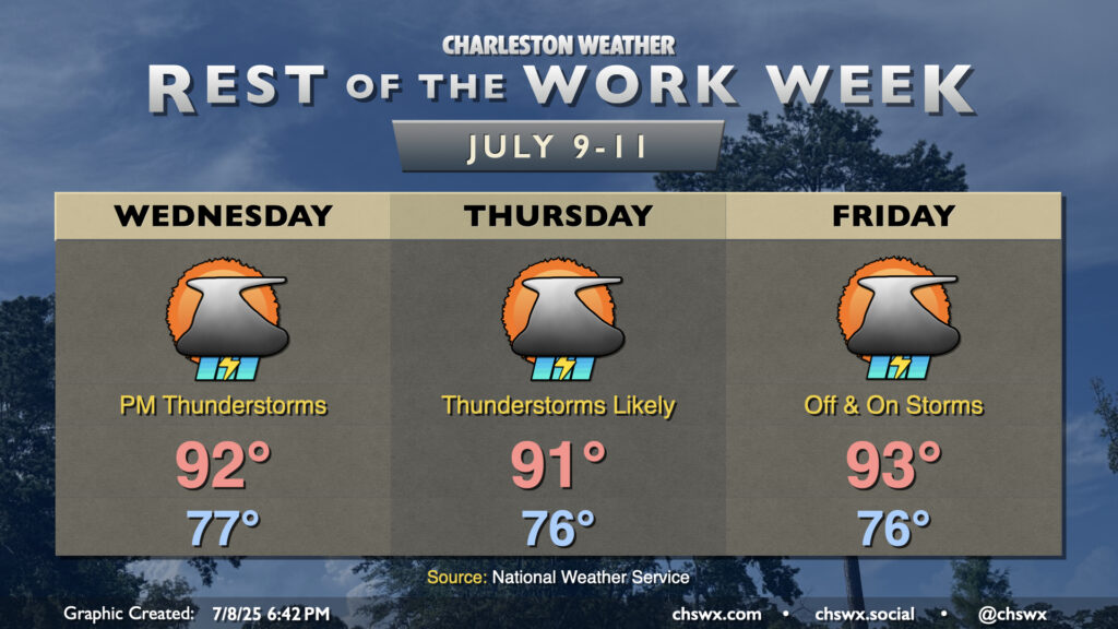
The rest of the work week will be characterized by scattered to numerous thunderstorms each afternoon as a weakness in high pressure aloft moves into the area from the west, adding to the available lift. The atmosphere will remain quite juicy (technical term), so the ingredients are largely there. A relative lack of wind shear will generally mean thunderstorms will be of the pulse variety — popping up, maturing, then collapsing in on themselves as rain-cooled air overwhelms the storm’s updrafts. Still, in these kinds of scenarios, wet microbursts can produce damaging wind gusts, and the strength of the mature updrafts can help produce hail. So, you’ll want to be on guard for the potential for a few severe storms. With all that said, all thunderstorms are dangerous because of the lightning they produce. When thunder roars, go indoors!
Temperatures will remain on the warm and muggy side, pretty much standard operating procedure for July. Lows in the mid-70s away from the coast, where temperatures will struggle to dip below 80°, warm to the low 90s each afternoon. Thunderstorms will help impart relief for some if not many of us, thankfully, keeping heat indices a bit more tame than they have been for the first couple days this week, but they will still rise to the upper 90s and low 100s before storms develop. Take it easy in the heat!
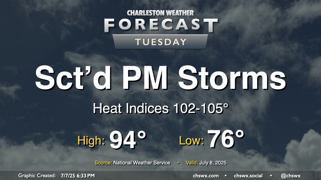
It’ll be another hot and humid July day across the Lowcountry on Tuesday as high pressure at the surface and aloft remain the predominant weather features, at least for one more day. The morning starts in the mid-70s inland to near 80° at the coast and downtown, warming to the mid-90s once again in the afternoon. Heat indices should rise in the 102-105° range, especially in the immediate wake of the seabreeze thanks to the dewpoint surge that typically accompanies it. We should see showers and thunderstorms fire along and ahead of the seabreeze by afternoon. Storms that fire could dump a good bit of rain in some spots in a short period of time thanks to the tropical airmass left behind by Chantal, so we will need to monitor for the potential for minor flooding in poor drainage areas. A stronger storm or two can never be ruled out this time of year, either, with gusty winds the main concern.