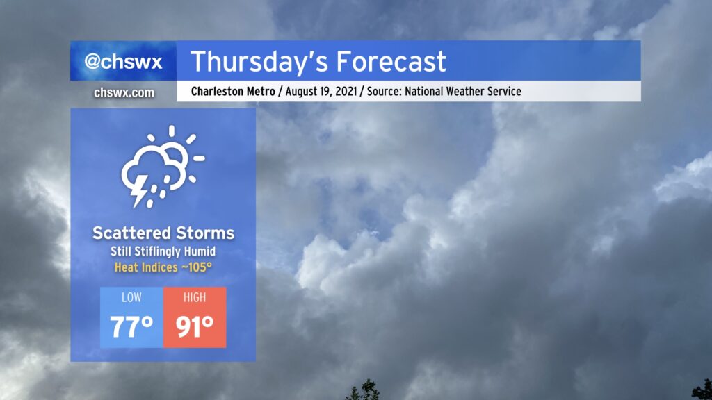
Fred may be long-gone, but its tropical moisture continues to linger across the Lowcountry for another day, making for another round of stifling heat for Thursday. Temperatures will head into the low 90s; combine this with heinous dewpoints in the upper 70s, and that will yield heat indices around 105°. This is getting to the point where heat stroke becomes a real possibility, so be sure to take plenty of breaks in the shade and get plenty of hydration if you must be outside in the heat of the day.
Some will see relief through showers and thunderstorms. In fact, there is a small chance of storms once again in the morning if the High-Resolution Rapid Refresh model has anything to say about it, so we’ll want to watch that trend. Otherwise, we should see another round of scattered afternoon thunderstorms as the heating of the day kicks in and the seabreeze makes its trek. Once again, storm motions won’t be terribly fast, and with precipitable water values at or over 2”, flooding certainly cannot be ruled out in spots.
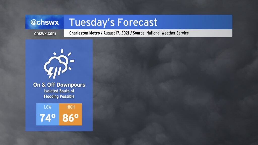
Get ready for periods of heavy rain tonight into Tuesday as Fred, which made landfall earlier near Cape San Blas, FL, continues its northward trek through Alabama and Georgia tonight into Tuesday. Deep tropical moisture will be the name of the game, and models show a feeder band-like feature off of the Atlantic coming up through the area early Tuesday morning. There’s a chance that the band could be moving through the area during the morning rush, so that’s certainly a trend to watch closely. We should see a lull followed by another renewed round of showers and thunderstorms as daytime heating takes hold. All in all, NWS is forecasting another 1-3” of rain (with locally higher amounts) before it’s all said and done Tuesday night.
Given the eastward nudge in Fred’s track over the last day, we’ll be keeping an additional eye out in case conditions become marginally favorable for severe weather closer to the Lowcountry. Right now, it looks like the bulk of the severe risk will stay to our west and northwest, cutting through Georgia into the Upstate. Still, shear profiles suggest that there could be a small window for severe storms late tonight into tomorrow. It may not be the worst idea to have your weather radios in the on and alerting position overnight, just to be safe. It’s important to note that this is not another Elsa: the center of circulation is much further to the west this go-around, and that in turn keeps the more favorable tornado parameters west.
Temperatures will predictably remain suppressed in the mid-80s given the prevalent cloud cover and rainfall. This remains a few degrees below normal for August.