Wednesday: Some calm before Thursday’s storms
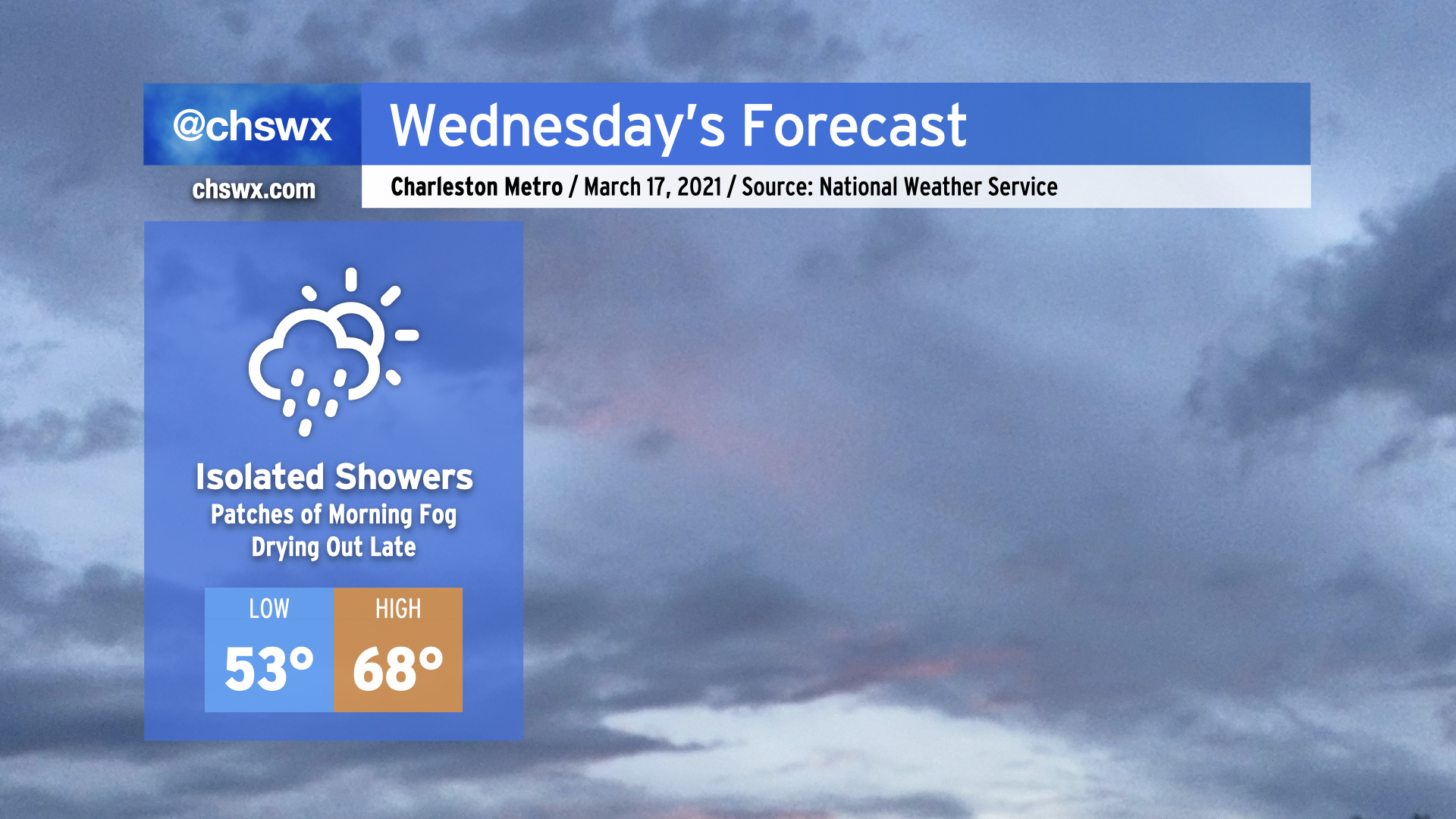
Another round of rain is expected overnight tonight as an upper-level disturbance moves through, with isolated showers possible during the day Wednesday.
The high pressure wedge won the day today, keeping temperatures well below forecasted levels in the low to mid-60s in the Charleston metro, while Moncks Corner struggled to 50°. It appears that the wedge will once again put a dent in temperatures tomorrow, with highs in the upper 60s in the Charleston metro perhaps being a bit generous if this afternoon’s high-resolution model runs have anything to say about it. Bottom line: Don’t misplace the light jacket tomorrow, preferably the green one given St. Patrick’s Day.
While we’ll be relatively calm tomorrow, a severe weather outbreak is expected from western Tennessee to Alabama as a strong storm system moves across the Mid-South. This storm system will head eastward and play a potentially major part in our weather on Thursday.
Read more »