Reinforcing shot of cold air to bring sweater weather on Wednesday
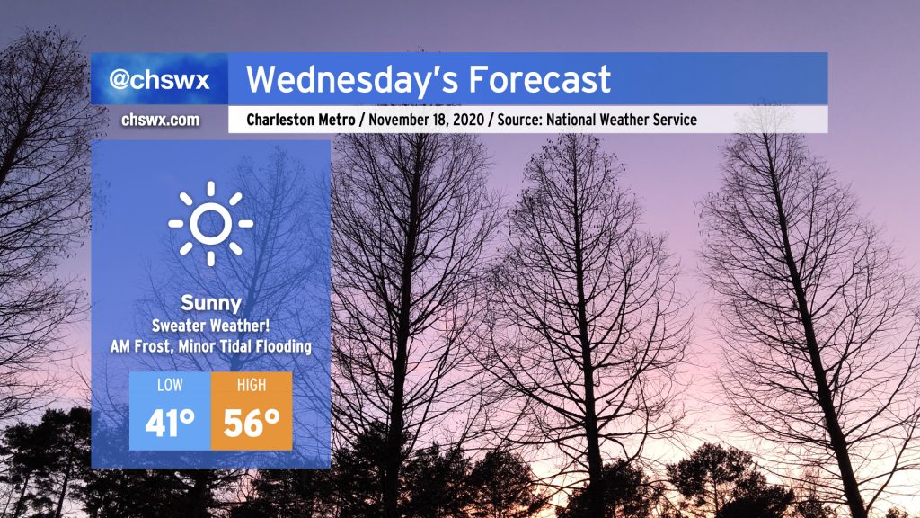
Get your sweaters ready — Wednesday is going to be a chilly one. A dry cold front featuring a reinforcing shot of cold air will swing through the area tonight. By tomorrow morning, winds will be back out of the north and a little breezy — lows in the low 40s may feel closer to the mid-30s when factoring the wind in. Despite full sunshine, temperatures will only rise into the mid-50s given continued cold advection into the area.
As high pressure slips overhead Wednesday night, winds will calm and skies will remain clear, allowing for excellent radiational cooling conditions. We may be contending with some frost as we get into overnight Wednesday/early Thursday morning, especially in the inland tier of counties. Keep an ear out for a possible Frost Advisory from the National Weather Service, and be ready to ensure plants, pets, and people are protected. (Pipes will be okay — not expecting a freeze just yet.)
Read more »