Rain returns for Tuesday
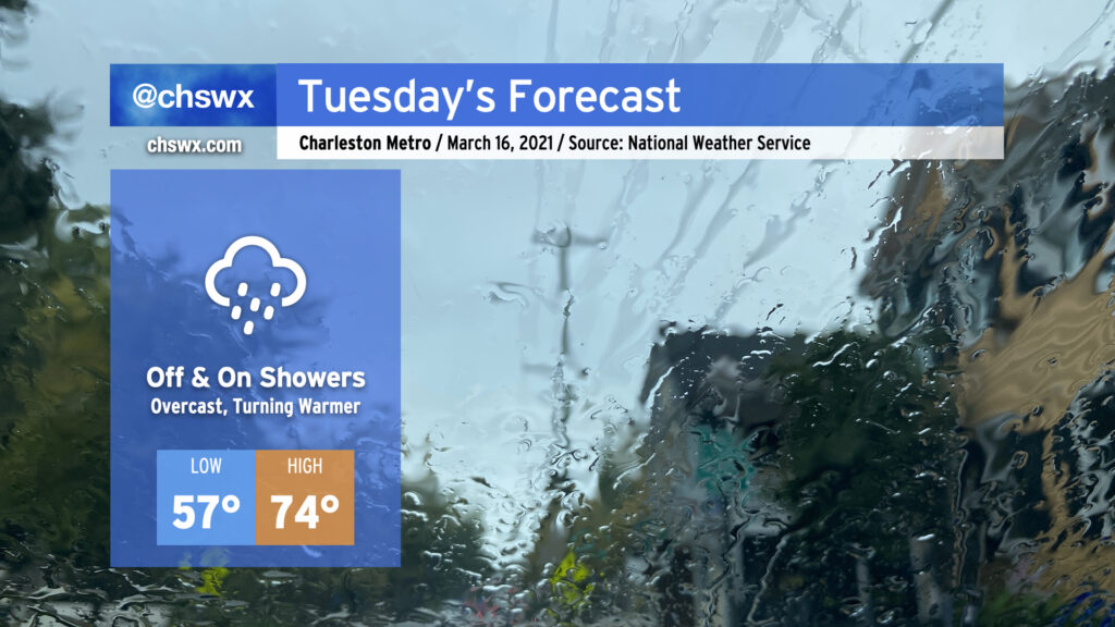
Well, it was nice while it lasted, but the rain is back overnight tonight into Tuesday as energy aloft as well as a surface low ripple along a stationary front to keep shower chances in the forecast, especially as we get into the evening hours. Expect the wedge front to retreat northward across the area during the day, with temperatures heading into the mid-70s in the afternoon in the metro area. 70s become a little less certain the further north and west you go; that will be governed strongly by just how far north the wedge front can retreat throughout the day. Models indicate a steep drop in temperatures across the front, potentially keeping areas near I-95 some 10-20° cooler than coastal areas.
A thunderstorm or two can’t be ruled out as we get into Tuesday afternoon and evening. A sampling of model soundings around the area suggest that a stronger storm or two may be in the cards, so we’ll want to keep an eye on this. However, no widespread severe weather is expected Tuesday.
Read more »