Short-lived Arctic blast incoming for mid-week

The fair may be over, but the temperature rollercoaster is still open for business with plenty of ups and downs in this week’s forecast. So, strap in, and get ready for a steep drop!
70s to start the work week
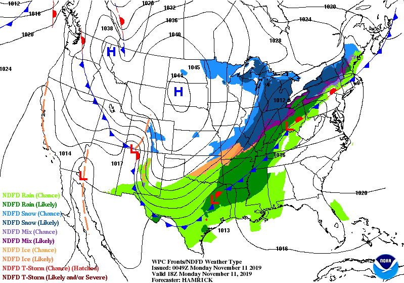
After a chilly weekend featuring a brief freeze inland on Sunday morning, high pressure will continue to slip offshore, allowing winds out of the south and southwest to return warmer air to the area. Expect temperatures to top out in the low 70s on Monday with a mix of clouds & sun.
Rainfall arrives in the area during the day Tuesday as the cold front swings through. About a quarter-inch of rainfall is forecasted with the front. High temperatures will top out in the mid to upper 60s early Tuesday afternoon before the bottom falls out of the mercury with Arctic air spilling in. It’s conceivable Tuesday’s low temperature will be reached after sunset.
Record cold possible Wednesday
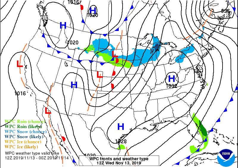
The Arctic airmass that punches in overnight Tuesday into Wednesday will be rather potent for this time of year. Record low temperatures may be challenged depending on the strength of the cold advection. The record low at the airport for November 13 is 29°, set in 1941; the current NWS forecast is for 31°.
It is conceivable that the growing season will be brought to an end on Wednesday for many areas, especially inland of 17. Bring in plants and pets Tuesday night!
The real thrust of the cold is going to be felt in the afternoon, when temperatures could struggle to reach 50°. The lowest high temperature on record for November 13 is 51°, set back in 2013. We may very well come in under that number, as NWS is only forecasting 48° for the high. (The normal low for November 13 is 48°!)
Temperatures recover, but rain chances return through this weekend
As soon as the blast arrives, though, it departs: After starting around freezing again Thursday morning, temperatures will rebound to the upper 50s Thursday afternoon, followed by 60s to close out the week. We’ll be watching a storm system start to take shape offshore. How fast it moves away from us will have a major impact on how our weekend weather shapes up. There are some decent model discrepancies heading into the weekend, so uncertainty is a bit higher than average. You’ll want to keep an eye on forecast updates as the week progresses, but as of now, I wouldn’t cancel any outdoor activities.
Follow my Charleston Weather updates on Mastodon, Bluesky, Instagram, Facebook, or directly in a feed reader. Do you like what you see here? Please consider supporting my independent, hype-averse weather journalism and become a supporter on Patreon for a broader look at all things #chswx!