A stretch of cool for the history books, but summer will return
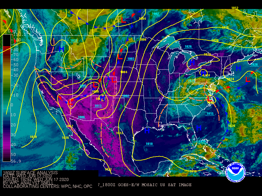
We have been in quite the cool spell this week as an upper-level low pressure system in concert with a stalled front have kept clouds and showers in the forecast. The cool temperatures have been rather remarkable for June, with legitimate hoodie weather the past couple days as several record low maximum temperatures were achieved both at Charleston International Airport and downtown Charleston. Summer’s coming back, though…
Rare air for June
Our cool spell is exceptionally rare for June as it is, much less mid-June. The only other time on record where temperatures were 77° or lower for four consecutive days was June 4-8, 1997, making this the latest into June that we’ve seen such a stretch of cool highs. A couple record low maximum temperatures were achieved at the airport this past Sunday and again on Tuesday with highs of 77° and 72°, respectively. Downtown Charleston at Waterfront Park also set a record low maximum on Tuesday, with a high of 72° breaking the record of 73° set in 1979.
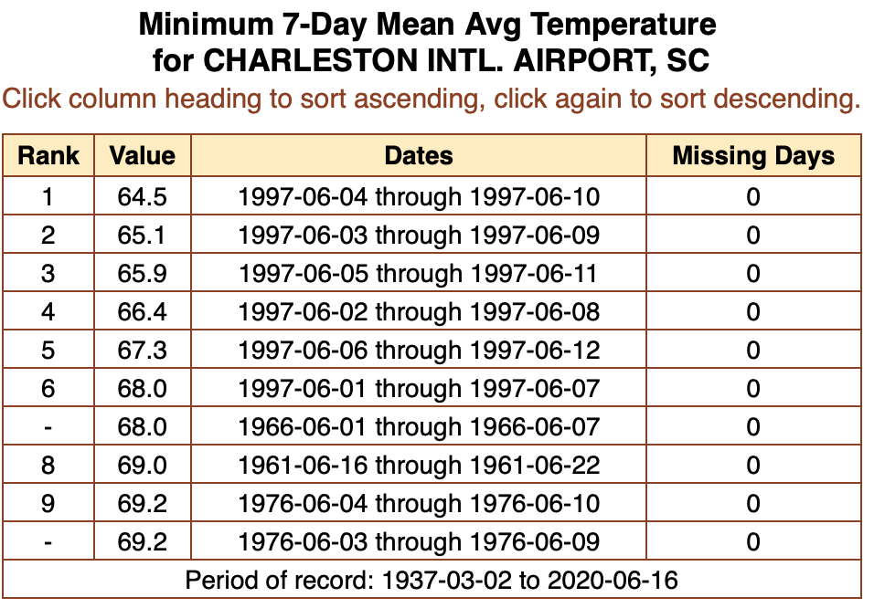
As far as average temperatures go, though, cloud cover at night kept temperatures fairly well-regulated, with lows often not dipping too far into the 60s most nights. Our stretch of cool temperatures doesn’t even crack the top ten as far as seven-day averages go; that honor goes to the the 1997 cool air outbreak, when from June 4-10 the average temperature was 64.5° — a number you’d associate more with the month of April.
Summer to return


Many of you are ready for summer to kick back in, and you won’t be disappointed as we head into tomorrow and the weekend. The surface wedge scoured out earlier today, as evidenced by the sun and some blue sky finally piercing the cloud canopy. In turn, the upper low which has been affecting the area over the past several days will also begin to lift out, allowing temperatures to begin to recover closer to June normals. We’ll have one more day of temperatures that are better suited to mid-May than mid-June, with highs topping out in the mid-80s. Scattered showers and perhaps a thunderstorm will develop along and ahead of the seabreeze in the afternoon.
As we get into Friday and the weekend, we’ll get right back into our summer groove — temperatures will head into the upper 80s to around 90 with a round of generally short-lived pulse thunderstorms possible each afternoon.
Follow my Charleston Weather updates on Mastodon, Bluesky, Instagram, Facebook, or directly in a feed reader. Do you like what you see here? Please consider supporting my independent, hype-averse weather journalism and become a supporter on Patreon for a broader look at all things #chswx!