The week ahead: Taste of fall continues through mid-week
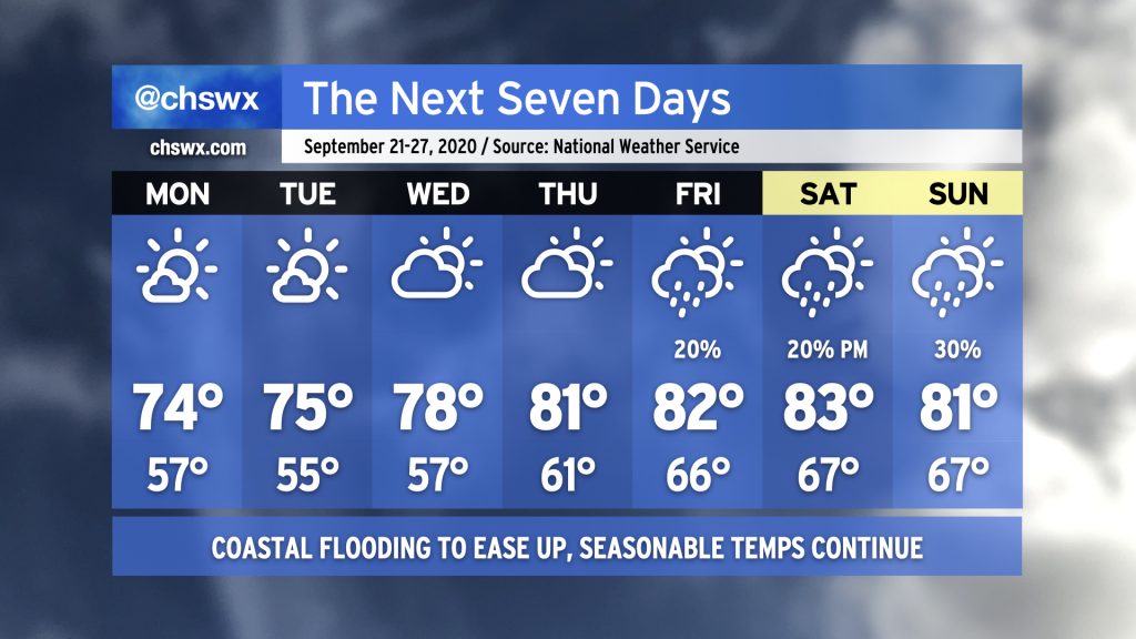
We’ll start the week off continuing our taste of fall, with highs running in the mid-70s and lows in the mid-50s — the coolest since mid-May — expected through Wednesday. We’ll also continue to take a break from the rain for a few days as high pressure continues to build overhead. Coastal flooding will remain a concern with Monday and Tuesday’s high tides, with major flooding possible with the high tide cycles on Monday before gradually diminishing on Tuesday. By Wednesday, the coastal flooding risk will have ended.
As we get later into the week, we’ll see some moisture stream into the area courtesy of the remnants of Tropical Storm Beta. This could instigate a few showers at times as we head into the weekend. We’ll also see an uptick in temperatures and humidity as well, but we’ll stay right around normal for late September, so don’t expect anything too heinous.