Morning showers and fog for Friday
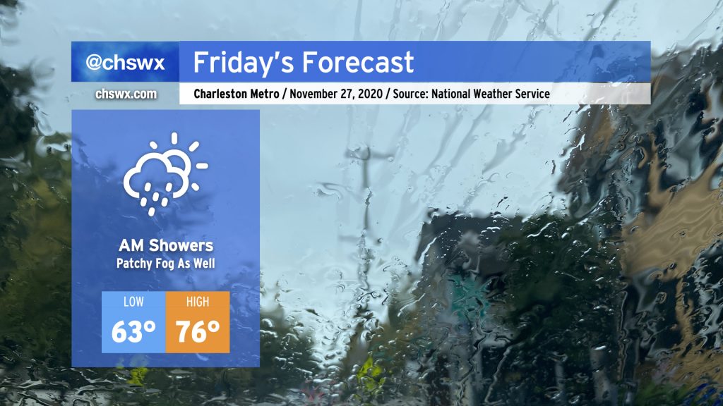
We’ll start the Friday after Thanksgiving with some showers as a cold front slowly trudges through the area. Once this front is through, rain chances will decrease and we should have a fairly nice afternoon, with temperatures still running well above normal in the mid-70s — though not quite getting to 82° like we did today.
Cooler & cloudy this weekend
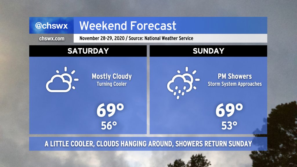
Once the cold front finally clears the area, we’ll get a little cooler, drier air into the area for Saturday, though clouds will continue to hang around. Seasonable temperatures just a click above normal continue into Sunday, but shower chances will begin to tick up as we get into the afternoon and evening hours ahead of our next storm system.
Big changes to start December
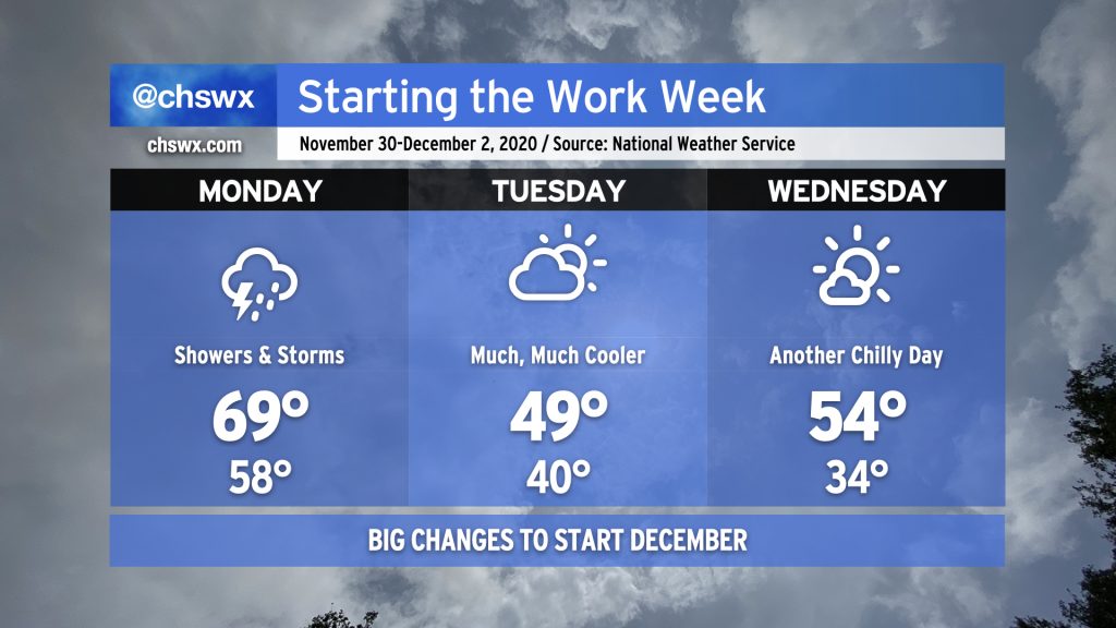
Showers and thunderstorms will greet us on Monday as a potent storm system moves northeast across the eastern half of the continental United States. This will drag a cold front across the area, bringing additional shower and thunderstorm chances for Monday along with some rather breezy conditions at times.
Once this front gets through, temperatures will take a nosedive. The calendar and the weather will certainly agree with December starting — we might not get out of the 40s on Tuesday as cloud cover scours out, and Wednesday morning could be a little frosty before highs struggle back into the mid-50s. Be ready for this cooldown to have a little staying power, too, as below-normal temperatures are favored for the first two weeks of the month.
Follow my Charleston Weather updates on Mastodon, Bluesky, Instagram, Facebook, or directly in a feed reader. Do you like what you see here? Please consider supporting my independent, hype-averse weather journalism and become a supporter on Patreon for a broader look at all things #chswx!