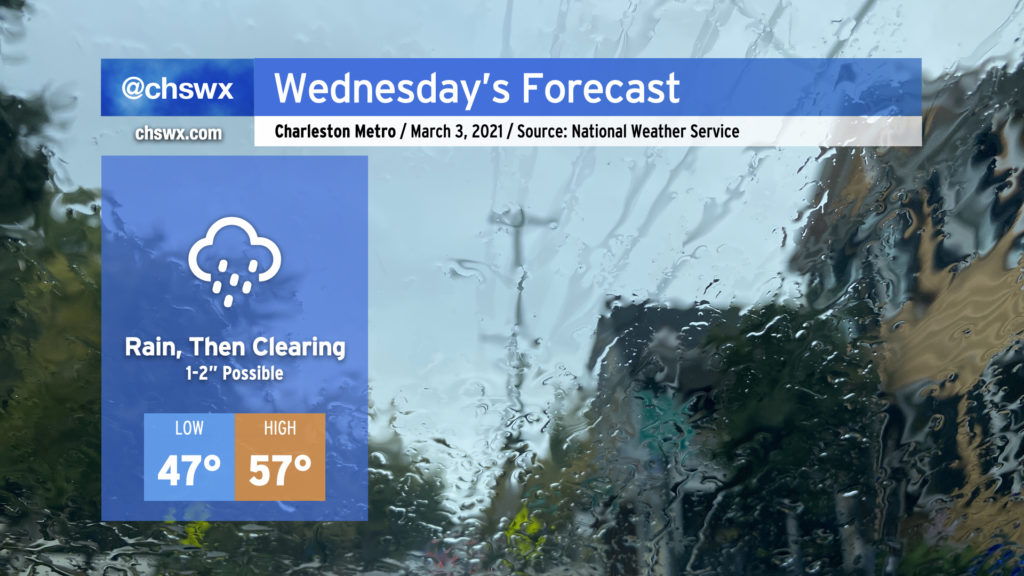
Rain to pick up overnight into the first half of Wednesday

Expect a soaking rain to pick up overnight and last through early Wednesday afternoon. Rain totals should end up being around 1-2″ across much of the Tri-County with locally heavier amounts. If there’s a piece of good news in this, right now it appears that the heavier rain is going to miss our next two times of high tide (10:33 PM Tuesday, 10:49 AM Wednesday). Salt water flooding remains a concern around times of high tide, though, with a Coastal Flood Advisory until midnight as the 10:33 PM high tide will approach 7′ in the harbor. If rain does pick up around that time, there could be more trouble on area roads, so be aware of that possibility through tomorrow.
Low pressure will depart the area Wednesday afternoon, which will shut the rain off and allow skies to begin to clear out. Depending on the timing of the clearing, we should see temperatures rise to the mid-to-upper 50s in the afternoon, setting up a rather nice Thursday with clear skies and highs in the mid-60s.
Tropical weather outlooks starting May 15, a first for the Atlantic
The National Hurricane Center announced today that it will begin issuing routine Tropical Weather Outlooks for the Atlantic basin starting on May 15, rather than at the usual June 1 start time for hurricane season. The string of May storms over the last few years prompted the change. This brings the Atlantic outlook schedule in line with the Pacific basin, which has traditionally started on May 15.
While this does not officially change the start of the Atlantic hurricane season (it remains June 1), there is a proposal out to the World Meteorological Organization to shift it back to May 15. We’ll see what happens here, but it’s always good to remember that storms don’t follow a calendar. (That being said, we’ve got a little while before we have to worry about anything tropical around here!)
Follow my Charleston Weather updates on Mastodon, Bluesky, Instagram, Facebook, or directly in a feed reader. Do you like what you see here? Please consider supporting my independent, hype-averse weather journalism and become a supporter on Patreon for a broader look at all things #chswx!