A little more persistent cloud cover for Tuesday
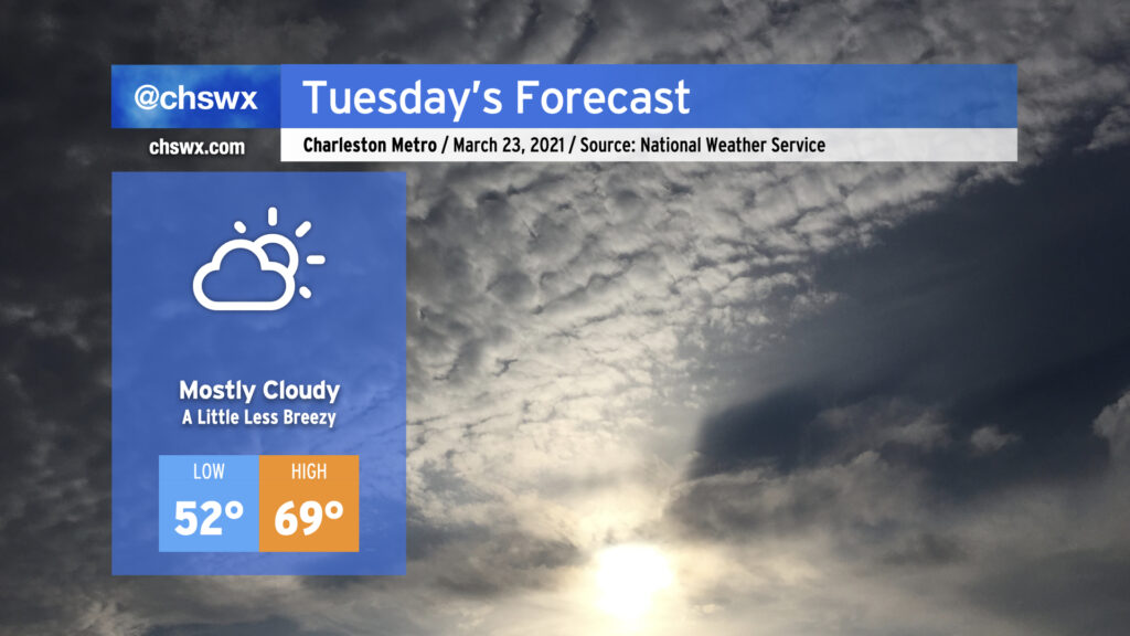
Cloud cover will look to be a bit more persistent on Tuesday, once again keeping temperatures right around 70° in the afternoon with low pressure stuck offshore, roughly about where the NC and SC border would be. Conditions should remain rain-free throughout the day, and we should get the sun peeking in and out as well.
Warming trend gets going Wednesday

As we get into the middle of the week, temperatures will warm considerably, likely touching 80° in spots by Thursday. Dry air should keep rain chances to a dull roar until Friday afternoon, when an approaching storm system and its attendant cold front get into the area, sparking off scattered storms. The chance for thunderstorms continues into Saturday as the front stalls out somewhere across the Carolinas, and perhaps comes a little northward as a warm front. This will all get swept out to sea by another cold front on Sunday, and by Monday we’re back to temperatures within spitting distance of normal and partly cloudy skies. Spring marches on!
Follow my Charleston Weather updates on Mastodon, Bluesky, Instagram, Facebook, or directly in a feed reader. Do you like what you see here? Please consider supporting my independent, hype-averse weather journalism and become a supporter on Patreon for a broader look at all things #chswx!