Windy and warm ahead of a cold front with elevated fire danger
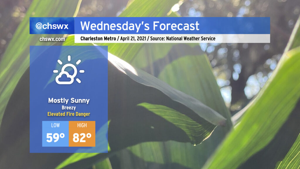
Wednesday promises to be another warm day across the Lowcountry ahead of a cold front. A dearth of moisture will lead to mostly clear skies despite the front, and with winds picking up out of the west due to a tightening pressure gradient (30+ MPH gusts are possible), we will need to keep an eye on the risk for wildfire danger tomorrow given continued dry conditions across the area. Highs will top out in the low 80s with heat index values running potentially cooler than the air temperature with very low humidity expected. (I don’t get to say that often around here!) The aforementioned cold front will move through the area in the evening, bringing a wind shift to the northwest and a relatively quick cooldown. Cool advection will help knock Thursday morning’s temperatures down into the mid-40s, a tad chilly for this point in April.
Saturday continues to be our next best hope for significant rainfall across the area. It’s looking pretty good for that, too, with perhaps even some thunderstorms getting into the mix as well in the afternoon and evening hours. If you have outdoor plans Saturday, be looking at indoor options.