Isolated showers and storms possible Tuesday afternoon; big cooldown Wednesday
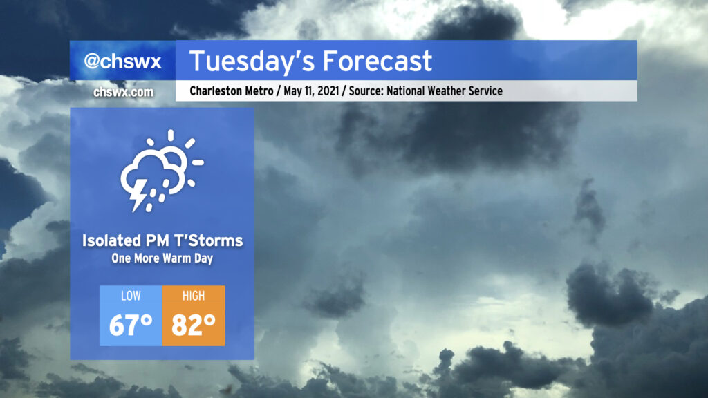
We have one more day in the 80s on Tuesday before a backdoor front sinks south of the area Tuesday evening, bringing quite a cooldown to the area Wednesday and Thursday. Isolated showers and thunderstorms will be possible as the front sags southward across the area, particularly in the afternoon.
Better rain chances arrive overnight into Wednesday, as moisture overruns a weak wedge of high pressure, setting up widespread precipitation for Wednesday and potentially into Thursday. An excessive rainfall event is not expected — indeed, this rain will be quite welcome as we continue to experience abnormally dry conditions across the Lowcountry. The persistent rain falling into the wedge will keep temperatures pinned down in the upper 60s. Record low maximum temperatures of 69 on Wednesday (set in 1963) and 68 on Thursday (set in 1996) are certainly in jeopardy. (At least it’s May and not January, where the wedge is often much chillier and the rain much more unpleasant!)
Temperatures rebound beginning Friday, and we continue to look really good for an extremely pleasant weekend of weather. (It’s never too early to think about the weekend, after all.)