The week ahead: More dry weather with summer looming around the corner

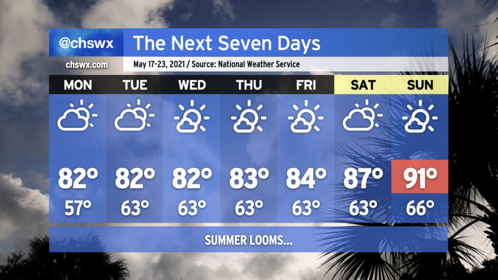
The upcoming work week will feature temperatures right in line with what we would expect from the third week in May with low-to-mid-80s quite common away from the coast. Humidity will be creeping up a little bit beyond Monday, which will be felt primarily through slightly warmer low temperatures in the low 60s. Keep the sprinklers on standby throughout the week as you’re going to need them with dry weather expected for the next seven days thanks to high pressure at the surface and aloft keeping a lid on afternoon convection. This will expand on this spring’s rainfall deficit, which stands at 2.19″ at publish time. (We are hanging on to a 0.66″ surplus for the year, but this should be erased by the end of this week.)
As we reach the weekend, we’ll start to see the heat kick up a notch as the ridge aloft strengthens. The first 90° temperature at the airport in 2021 should be achieved by Sunday; if this ends up being the case, it’d be the latest first 90° day since 2005. Dewpoints in the low 60s will keep heat indices in check for now, but it’s only a matter of time before the humidity begins to kick in.
Tropical update

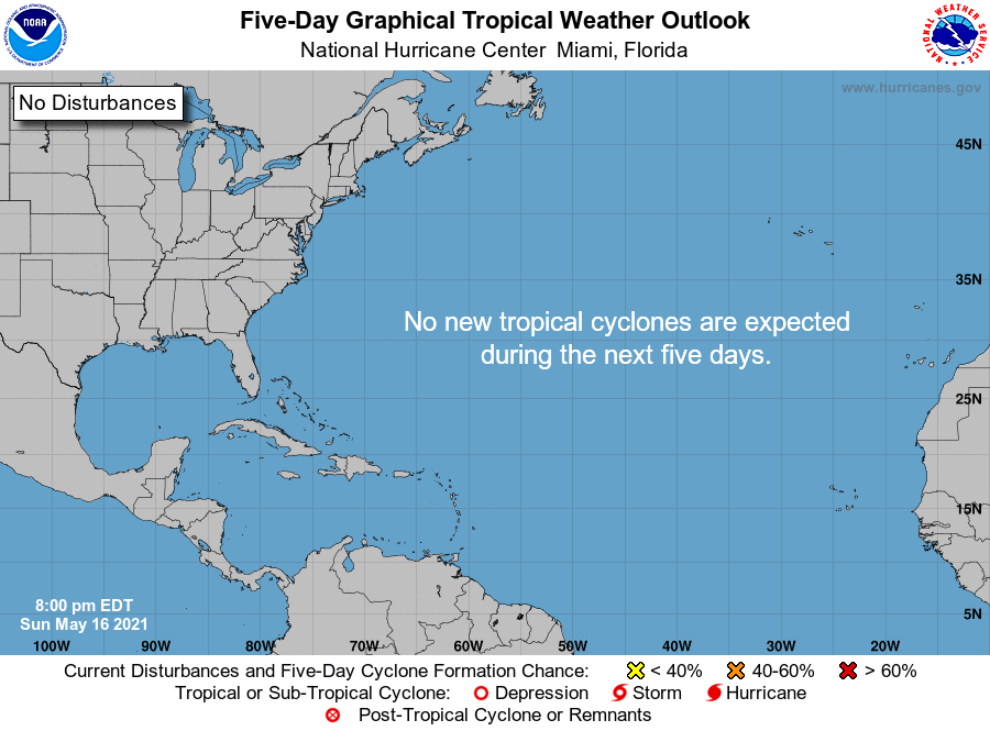
In a first for the National Hurricane Center, they have begun issuing tropical weather outlooks for the Atlantic as of May 15. This is a little earlier than the official June 1 start to the Atlantic hurricane season, largely due to the fact that we’ve seen tropical activity every May since 2015.
The good news? The outlook so far appears quiet as NHC does not expect any tropical cyclones to develop over the next five days. Medium-range modeling suggests that the tropics will remain quiet into next week, too.
Follow my Charleston Weather updates on Mastodon, Bluesky, Instagram, Facebook, or directly in a feed reader. Do you like what you see here? Please consider supporting my independent, hype-averse weather journalism and become a supporter on Patreon for a broader look at all things #chswx!