Typical summer day ahead with scattered afternoon storms
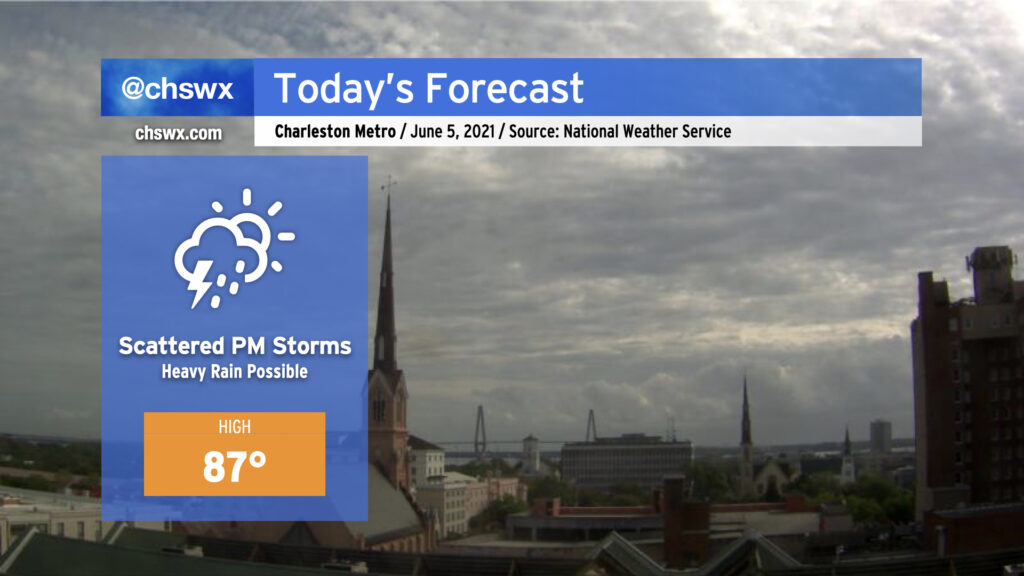
It must be June: Scattered showers and thunderstorms return to today’s forecast with temperatures topping out in the mid-to-upper 80s. Today’s storms look to kick off along the seabreeze perhaps as early as 1-2 PM, with the likeliest corridor of heavy rain to remain between I-95 and US-17. A couple storms could briefly turn severe with wet microbursts the primary concern, particularly where outflow boundaries intersect. So far, overnight model data do not favor a repeat of last night’s deluge in Downtown Charleston, but we will need to see how things ultimately evolve this afternoon. Keep rain gear handy and be ready to move outdoor activities indoors — in other words, pretty much standard for this time of year.