Scattered storms possible Sunday, but we’ll be a little cooler, too
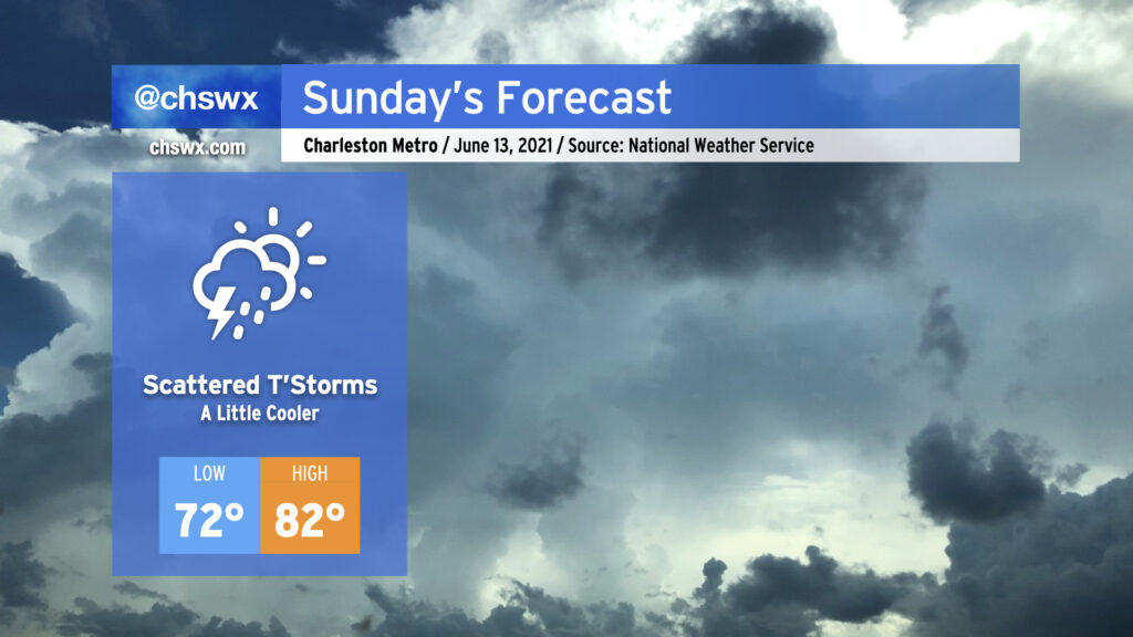
After what ended up being a raucous Saturday evening (for all the wrong reasons), we’ll start Sunday on the cool side of a frontal boundary that will stall out and dissipate midway between Savannah and Jacksonville. Low pressure will develop along the front and move away, keeping us in northeast to easterly flow. The rich atmospheric moisture that helped contribute to our flooding issues today will remain in place for Sunday. Guidance hints on the potential for some coastal rainfall in the morning as low pressure develops offshore and moves away, followed by scattered afternoon storms with the inland-progressing seabreeze (though this evening’s models are blessedly trending drier). With persistent weak storm motions expected, we’ll have to keep an eye on any downpours that can get going for an isolated flooding threat, particularly if they fire in the West Ashley to Downtown corridor along Highway 17, where 3-5″ of rain fell this evening.
The post-frontal airmass and onshore wind will keep things a touch on the cool side for June, with expected highs in the low-to-mid 80s. Unfortunately, this doesn’t come with much of a dip in dewpoints, so we’ll still be on the muggy side of comfortable.
Let’s hope the drier trends in guidance continue! (Side note: It’s amazing how fast we go from “we need the rain” to “make it stop” in summertime…)