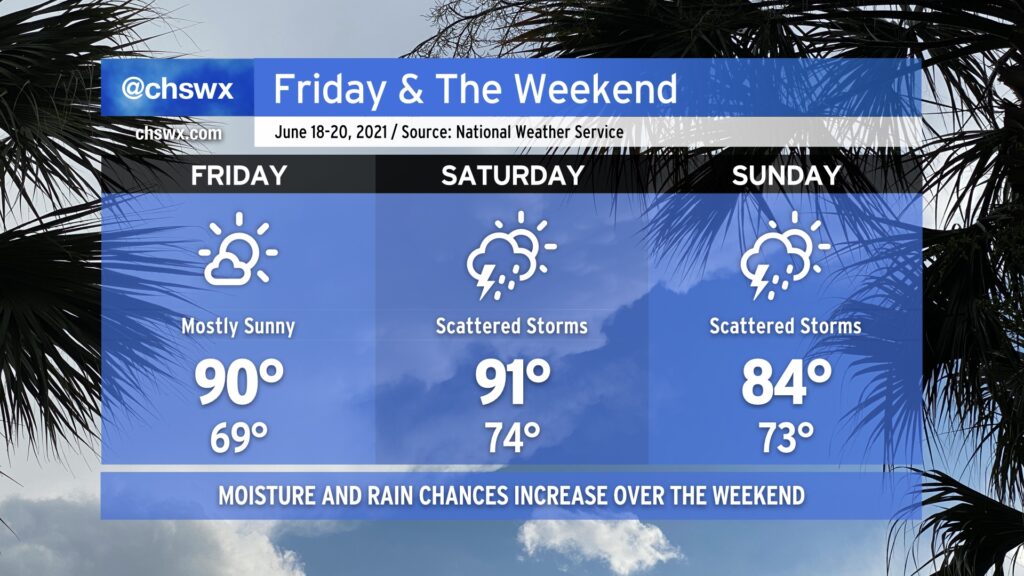
Friday and the weekend: Good start, but moisture and rain chances increase by Sunday

After what ended up being a stellar Thursday for mid-June, we’ll get another warm but less humid day for Friday. Temperatures will start in the upper 60s and will top out around 90° in the afternoon. Dewpoints will run in the upper 60s to around 70°, yielding heat indices a couple ticks above the air temperature, but nothing we can’t handle.
As we get into the weekend, we will start to see tropical moisture increase across the area ahead of what is currently Potential Tropical Cyclone 3. There are some timing differences in the models which will have influences on the forecast, but for now, Saturday could feature a couple showers and storms in the afternoon and evening hours after a high of 91° that will feel closer to 97-98°. As we get into Sunday, moisture continues to increase, and the remnants of the tropical low move roughly along the NC-SC border. This will continue to kick up showers and storms into Sunday. Expect periods of heavy rain at times. The big question, though, remains timing, which has run a little later in recent guidance. Thus, I wouldn’t start canceling too many plans just yet — just keep an eye on forecast updates as we get into the weekend.