Periods of heavy rain expected Tuesday
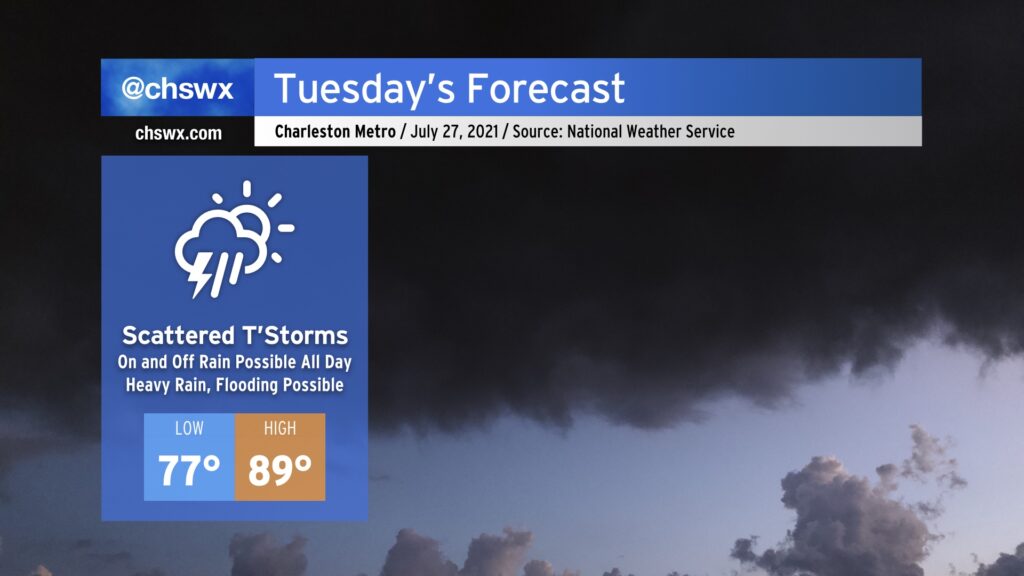
We’ve got a muggy and potentially soggy Tuesday ahead. While it won’t rain all day, expect plenty of shower and thunderstorm coverage to bring just about everyone some rain at some point tomorrow. Given plentiful tropical moisture, some of this rainfall could become quite heavy at times, leading to the potential for isolated bouts of flooding where the heaviest rain falls. Heavy rain will be possible possibly as soon as shortly after daybreak, similarly to today, as it likely won’t take much heating to start convection. We’ll want to watch the 11:18am high tide closely as high-resolution guidance suggests storms in the area around that time.
Temperatures will remain on the warm and muggy side. We’ll start in the upper 70s across much of the area, with 80° lows possible along the coast and in downtown Charleston. Highs will only top out in the upper 80s given the expected shower and thunderstorm coverage.
High rain chances continue into Wednesday before moisture departs and we heat up for Thursday and especially on Friday, which could be the hottest day of 2021 thus far if the forecast of 96° remains on track. Stay tuned.