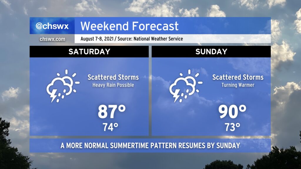
One more unsettled day, then the pattern turns back to summertime norms

Scattered showers and thunderstorms will continue to feature prominently in the forecast as we get into Saturday, with perhaps another round of morning storms to greet us as a mid-level trough and some embedded energy draws closer to the area. With the warm front north of us, peeks of sun should allow temperatures to continue to moderate into the mid-to-upper 80s in the afternoon.
By Sunday, the troublesome trough lifts out of the area and we get back into more of a traditional summertime regime. Scattered storms will continue, though they should be a little less numerous Sunday. Highs return to the 90s across the area and look to stay that way as we get into the new work week. But it’s the weekend, and there’s no reason to think about the new work week right now. 🙂