Rain — and the flood threat — continues into Tuesday
Periods of heavy rain will remain possible overnight into Tuesday as we remain within a little firehose of moisture funneling between high pressure to the north and low pressure to the south. At 5PM, the airport had recorded 1.47” of rain and downtown had received .80” with more to come. (It wasn’t as bad as Savannah, though, which has recorded almost 6” of rain just today, shattering a 136-year-old record.)
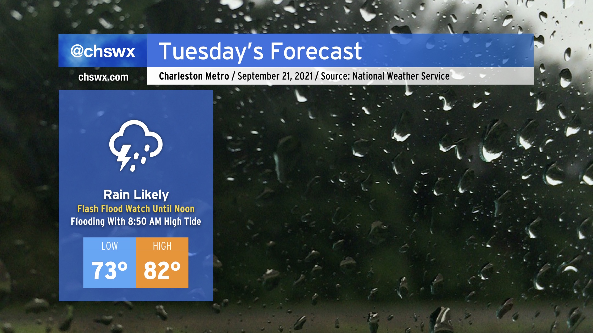
A Flash Flood Watch continues until noon Tuesday, though if wetter trends continue this could be extended further into the day. Of most concern is the 8:50 AM high tide, which may top out between 7.2-7.4’, already well within minor flood stage. Salt water on a few roads is a given; we’ll need to see what kind of rain is in the area Tuesday morning to determine whether additional water piles up on top. Either way, expect another soggy day with another 1-2” of rain in the forecast, with locally heavier amounts. Temperatures will once again be held down into the low 80s at best given copious amounts of cloud cover and rainfall in the area.
Salt water flooding will continue to be an issue over the next few days, with another bout expected around the 9:18 PM high tide Tuesday night and then again with Wednesday morning’s high tide around 9:31 AM. Keep attuned to coastal flood advisories from the National Weather Service.