Tricky temperature forecast for Sunday as we watch the wedge
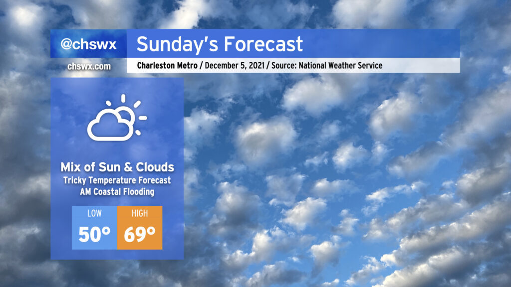
After a foggy start, the temperature forecast could be a bit tricky on Sunday as we see how entrenched a wedge of high pressure from the north can get across the area. If the wedge can build in and hold up (additional cloud cover would help), temperatures may not get out of the 60s. If the wedge comes out on the weaker side and erodes a bit, there’s a chance we may once again reach the low to mid-70s in spots. Recent model guidance has trended back warmer from earlier today, but the wedge can sometimes be stronger than what guidance will depict. The good news is that the forecast remains rain-free regardless. Just be ready to make quick wardrobe adjustments if needed.
There will once again be a risk for shallow coastal flooding around the 8:26 AM high tide. Water levels should reach 7.3-7.5′ in the harbor, perhaps on the higher end of this depending on the extent and strength of northeasterly winds. Be ready for a few road closures in downtown Charleston tomorrow morning, but widespread problems are currently not expected.