New Year’s weekend remains unusually warm, but turns unsettled Sunday as a cold front approaches
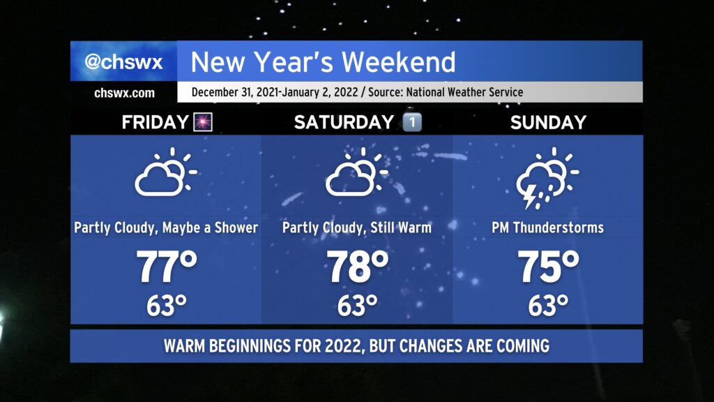
After some much-needed rain (and some lesser-needed hail) on Thursday, we head into New Year’s Eve with continued warm temperatures as a frontal boundary, which has caused some complications for the weather in the southeastern US this week, remains stalled well to our north. A shower or two can’t totally be ruled out Friday, but much of us should remain dry to close out 2021, and fireworks displays should be unimpeded as a result. Temperatures will once again head well into the 70s in the afternoon, and could challenge the record high of 78° last set in 1996.
New Year’s Day will remain quite warm with a mix of sun and clouds. Highs should stay just shy of the record of 80° we set on January 1, 2021, but they will certainly get close as we remain within the warm sector. Saturday should remain rain-free for the Lowcountry with no appreciable disturbances to speak of to instigate shower activity in our neck of the woods.
The pattern will finally begin to change on Sunday as a potent upper-level system dislodges the stalled front and finally pushes it eastward. Expect showers and even a few thunderstorms ahead of the cold front Sunday afternoon and evening. A few storms could be on the strong side given good upper-level support and probably just enough instability. Highs top out in the mid-70s owing to cloud cover and rain chances. There’s still questions on when the front ultimately gets through, but all indications are that the first Monday of 2022 will be significantly cooler than we’ve experienced in the past couple weeks! Hang in there, cool weather fans — almost there.