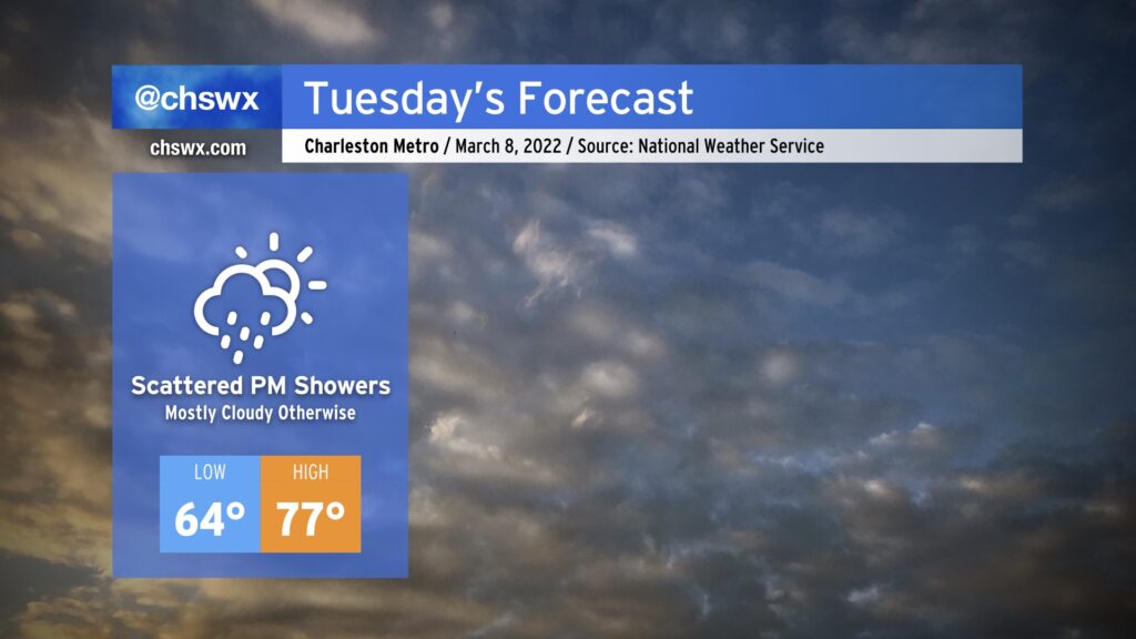
Tuesday: Mostly cloudy, a little cooler, with scattered showers developing

Cloud cover and eventually shower chances return to the forecast tomorrow as a cold front edges closer to the area. The clouds will help keep the morning rather balmy — 64° is the forecast low, just a few degrees below the normal high for this point in the year. Highs will head into the mid-to-upper 70s, but won’t quite be able to reach 80° given the increase in cloud cover and the development of scattered showers in the afternoon. It won’t rain all afternoon, but be ready for that potential especially during the evening commute.
Rain chances continue to ramp up this week as the cold front stalls across the area, with more widespread rain expected to develop Wednesday into Thursday. Rain stays in the forecast through Saturday until a cold front shifts offshore, shutting off precipitation and ushering in some very cold air — perhaps reaching freezing — for Sunday away from the immediate coast.
Statewide tornado drill Wednesday
This week marks South Carolina’s annual Severe Weather and Flood Safety Week. As is custom, the statewide tornado drill is scheduled for Wednesday at 9AM. The National Weather Service will issue a test tornado warning at that time to trigger NOAA Weather Radio, signaling the drill. (It should not trigger other alert tools, such as Wireless Emergency Alerts or other smartphone apps.) Use that time to practice your severe weather safety plan wherever you are, whether it be at home, at school, or at work.