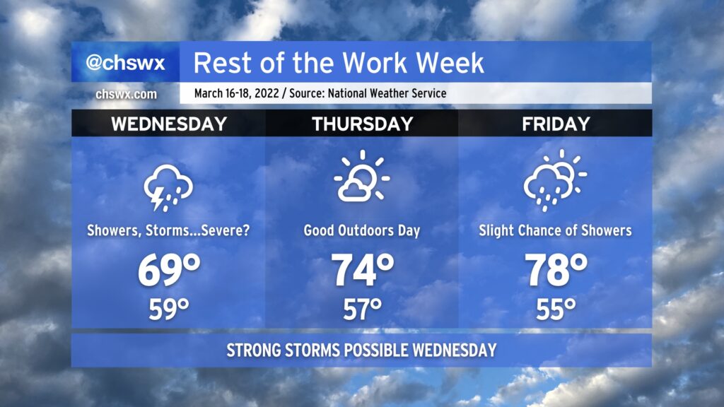
Rest of the work week: Stormy Wednesday, nice Thursday, warm Friday

Up-and-down weather will finish out the work week with a nearly equal mix of nice and unsettled mixed in.
Wednesday will be the stormiest day of the set as surface low pressure and its parent upper low continue to rumble eastward into the area. Expect numerous showers and thunderstorms for a good bit of the day on Wednesday. One thing we’ll want to watch is if any instability can develop; if so, wind shear will be enough to support some strong to severe thunderstorms across the area. With rain in the area, highs should top out around 70° at best, which will put a governor on any severe threat that might materialize.
The storm system departs overnight Wednesday, and by Thursday, we clear out a bit, allowing for good sunshine and comfortable temperatures in the mid-70s in the afternoon. Should be a nice day to get out and about for lunch!
Friday starts out fairly nice as well — mid-50s for lows remain well above normal for this point in the year — before cloud cover increases ahead of another cold front. Showers could work into the area as early as the afternoon and evening hours, but the best risk of rain from this next storm system will be in the area for Saturday. Sunday, though, looks good with comfortable temperatures and ample sunshine.