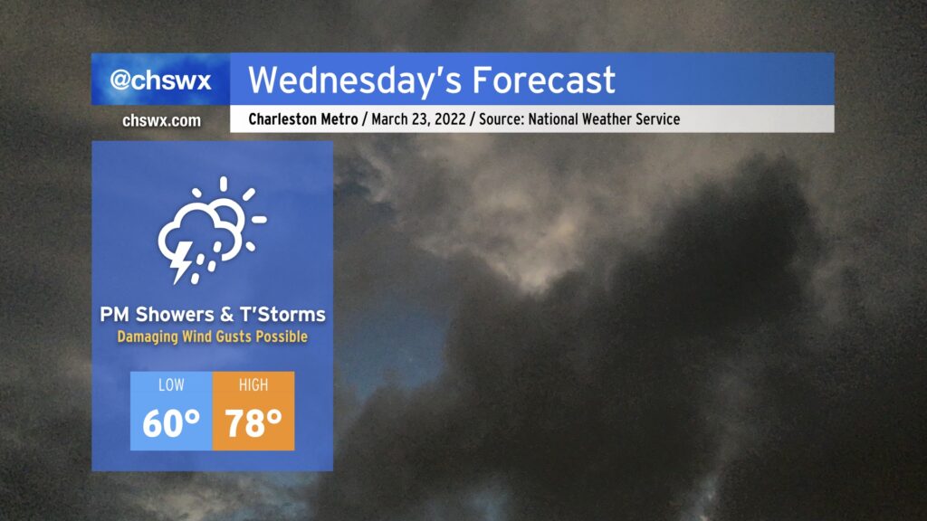
Wednesday: Showers and thunderstorms developing, with a couple possibly on the strong side

An unsettled period begins on Wednesday as our next storm system approaches the area. This storm system could aid in producing a few strong to severe thunderstorms in the afternoon.
A warm front will cross the area overnight, and as a result, Wednesday starts out with lows bottoming out just around 60° around the area. The Gulf will be open for business with a plume of warm, moist air overspreading the Carolinas ahead of a cold front. This should keep a fair bit of cloud cover around, but despite this, temperatures could still approach 80° in the afternoon, particularly if we get some peeks of sun mixed in during the day.
The morning appears to be dry, but it isn’t out of the question to see some showers try to get going ahead of the main event. With that in mind, though, the vast majority of guidance members are keeping things dry until the afternoon. The best chance of showers and thunderstorms could arrive in the form of a squall line in the evening. Instability should be modest at best, but ample wind shear could be enough to produce a few damaging wind gusts if storms can stay organized. Hail and even a tornado can’t be ruled out, either. As usual for our neck of the woods, the available instability will modulate the severe threat. Most of you shouldn’t see any severe weather tomorrow, but in case it does threaten, you’ll want to know about it: have reliable ways to hear watches and warnings, and be ready to move to a safe place if a warning is issued for your location.
Rain should continue well into Thursday as the front and moisture hangs around before finally moving away early Friday. Regardless of any severe weather, the rain will be quite nice to wash away some pollen and help chip away at the drought. The reward will be pretty sweet, too: a gorgeous Friday and the weekend, with fair weather continuing well into the following work week.