Tuesday turns cooler as winds turn onshore
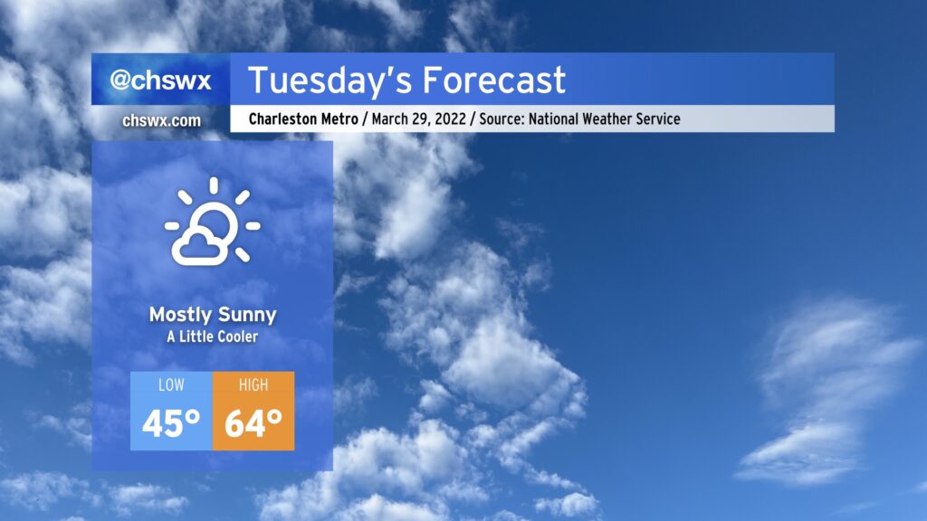
High pressure remains in control on Tuesday as it builds southward and down the East Coast. With the high centered to the north, winds will shift around more easterly and come in off the ocean. As a result, high temperatures will run cooler tomorrow thanks to the onshore flow as well as the loss of the downslope component to the wind that we get when it blows out of the northwest. Relative humidity values will be higher (though not uncomfortably so), making for much less fire danger for tomorrow and for the rest of the week.
Tuesday will be the last day of below-normal temperatures; a warm front will lift north of the area on Wednesday, sending temperatures back well into the 70s. Our next rain chance still looks timed for sometime Thursday afternoon and evening, all depending on the forward progress of a cold front. Severe weather appears quite unlikely at this juncture, but we’ll continue to keep an eye out for changes. Regardless of any severe storms, Thursday looks to be a rather windy day, with gusty winds continuing into Friday.
Bridge Runners, so far so good for the race, rain-wise, but we’ll be keeping a close eye on the potential for some storms at times this weekend. Stay tuned as the forecast gets further and further fine-tuning.