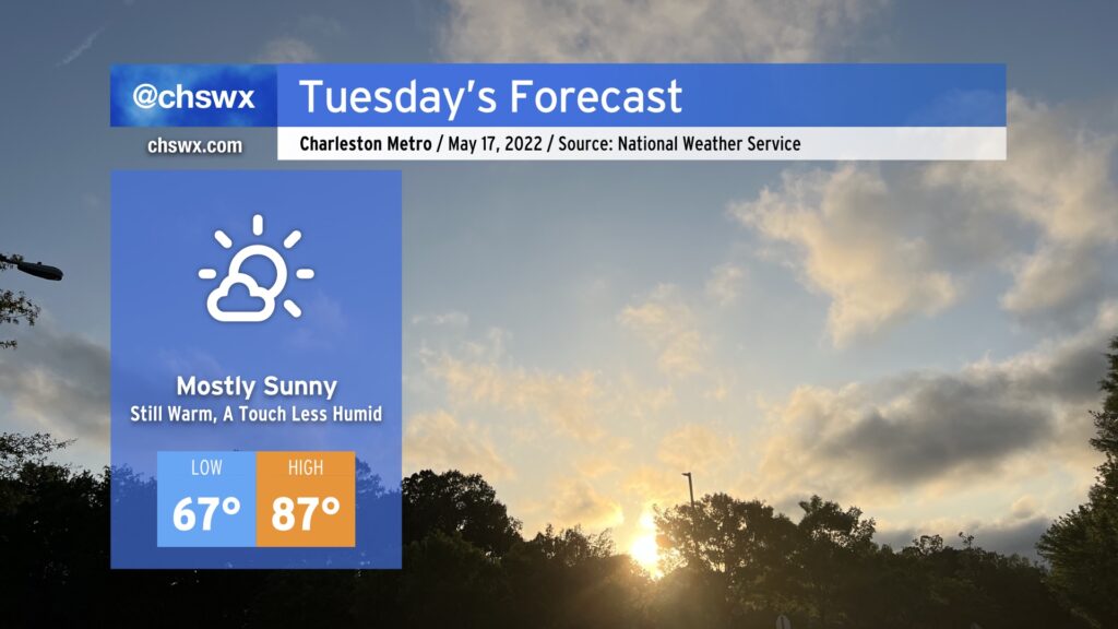
Tuesday: A little less humid
A cold front will sink south of the area very early Tuesday morning, ushering in a slightly cooler and drier airmass for the next couple days before the heat pump really kicks up starting Thursday.
Of course, by “slightly cooler and drier” I mean “it won’t be 90° with a dewpoint in the mid-60s in the afternoon,” so keep that in mind as you set expectations for what Tuesday will feel like. But, indeed, it should feel a little better than Monday did. With a slightly drier airmass, the afternoon cumulus field should be a little bit more scattered, allowing for more sunshine. Highs top out in the mid-to-upper 80s thanks to northeasterly flow developing across the area, coolest at the immediate coast.
The northeasterly winds combined with the recent full moon at perigee should further enhance the risk for tidal flooding with the evening high tide (peaks a little after 10 PM), with another round of moderate flooding likely between 7 and midnight. Be ready for some sporadic road closures once again as a result.
As foretold earlier, we’ll get one more day of comfortable warmth on Wednesday before a warm front lifts north and the heat pump turns on for Thursday and Friday. Expect highs in the mid-90s for the first time this year away from the coast then, with heat indices perhaps creeping into the upper 90s. Summer’s just about here, folks, whether we want it or not!