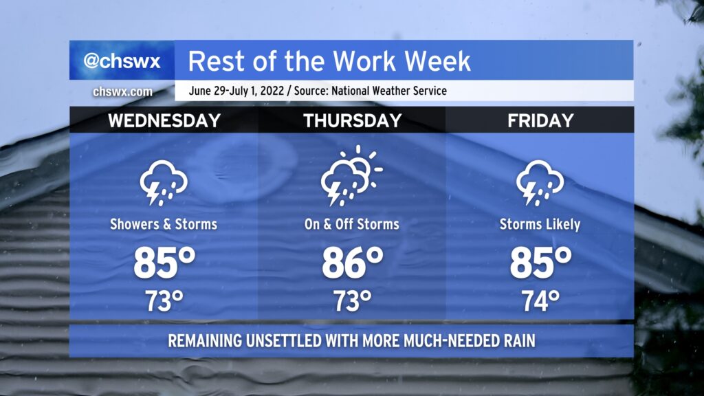
Rest of the work week remains unsettled with some much-needed rain
After some much-needed rain fell across the area — with upwards of 2-4” in many spots near the coast, particularly around Mt. Pleasant — more is in store overnight tonight into Wednesday as a stalled front continues to linger in the area. Mid-level energy will traverse the area and should initiate another round of showers and thunderstorms overnight into tomorrow morning. We’ll want to keep an eye on the risk for waterspouts again in the morning, too, though whether it’s a repeat of today’s performance remains to be seen.
The front will eventually wash out later Wednesday, but we’ll still have plenty of moisture in the area and surface triggers in the form of a coastal trough and other mesoscale boundaries to help maintain solid rain chances Thursday and Friday.
The rain will continue to keep high temperatures suppressed into the mid-80s each afternoon. Thunderstorms will certainly act as a temperature disruptor, and as a result, the timing for places to reach those highs — if they’re reached at all! — could vary widely across the Tri-County.
Moisture looks to hang around for the holiday weekend, and it’s increasingly likely we’ll at least be dodging some afternoon thunderstorms for the Fourth of July. Will continue to keep an eye on this as we get closer, but for now, the advice is to make sure you’ve got a good second, indoor option for your Independence Day festivities.