Sunday: Still dodging scattered showers and storms
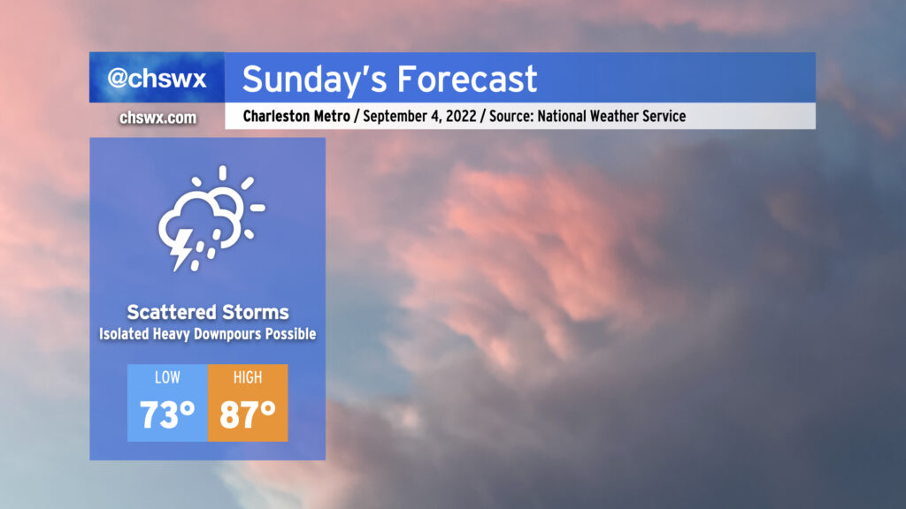
Sunday’s forecast is essentially a matter of highlighting today’s weather, hitting Cmd+C, then Cmd+V (or Ctrl if you’re on Windows or Linux). Onshore flow will continue with the risk for scattered showers and storms throughout the day. Better rain chances will be found at the coast in the morning before transitioning inland with the seabreeze in the afternoon. Precipitable water values will remain at or above 2″, which will promote the risk for isolated downpours and perhaps flooding concerns if heavy rain ends up repeating over the same area. The diffuse stationary front which has been plaguing our surface pattern for the better part of a week now will wobble a little further southwest for Sunday, which should keep the more widespread rainfall in Georgia. Even still, though, stay flexible with your outdoor plans and be ready to move them inside quickly if storms approach.
Temperatures will once again follow today’s trend: lows in the low-to-mid-70s to start the day, with highs topping out in the mid-to-upper 80s before showers and thunderstorms set in. Heat indices will run in the mid-90s with the continued summer-esque humidity in place.
This pattern looks to continue into Labor Day and beyond. Aloft, ridging remains firmly in place over the next several days as an upper low cuts off over the Midwest. In the tropics, Tropical Storm Earl, which was named last night, will recurve well away from the US before it becomes a threat to land, while Danielle remains very far out in the Atlantic, an issue for shipping traffic and fish.