Saturday: Scattered storms as a stalled front lingers
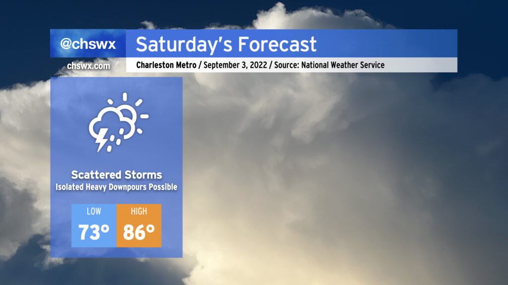
Saturday looks to bring another round of scattered showers and storms to the area, possibly as soon as sun-up as storms develop offshore and drift inland within onshore flow. During the day Saturday, a stationary front could wobble back north into the area, which may help focus additional shower and storm development in the afternoon. Unfortunately, the models are still varying quite widely on precipitation coverage during the afternoon and evening hours, so it’s going to be difficult to pinpoint exactly when and where it will rain until trends become apparent tomorrow. With that in mind, I don’t think it is wise to totally shelve outdoor plans, but I would recommend having a strong backup plan in your back pocket ready to go.
Thanks to onshore flow, lows on Saturday will run a couple clicks above normal (low to mid-70s) and highs will run a couple clicks below normal, generally running in the mid-80s in the afternoon ahead of any showers or thunderstorms that may develop. Mix in humidity and it’ll feel like the mid-90s.
We look to stay in this pattern through the Labor Day holiday, with variable rain chances each day driven largely by the positioning of the stalled front and the state of the atmosphere after any convection on the previous day. My advice remains the same: Don’t cancel plans, but be ready to change them.