Thursday: Showers and storms developing in the afternoon; tidal flooding expected in the evening
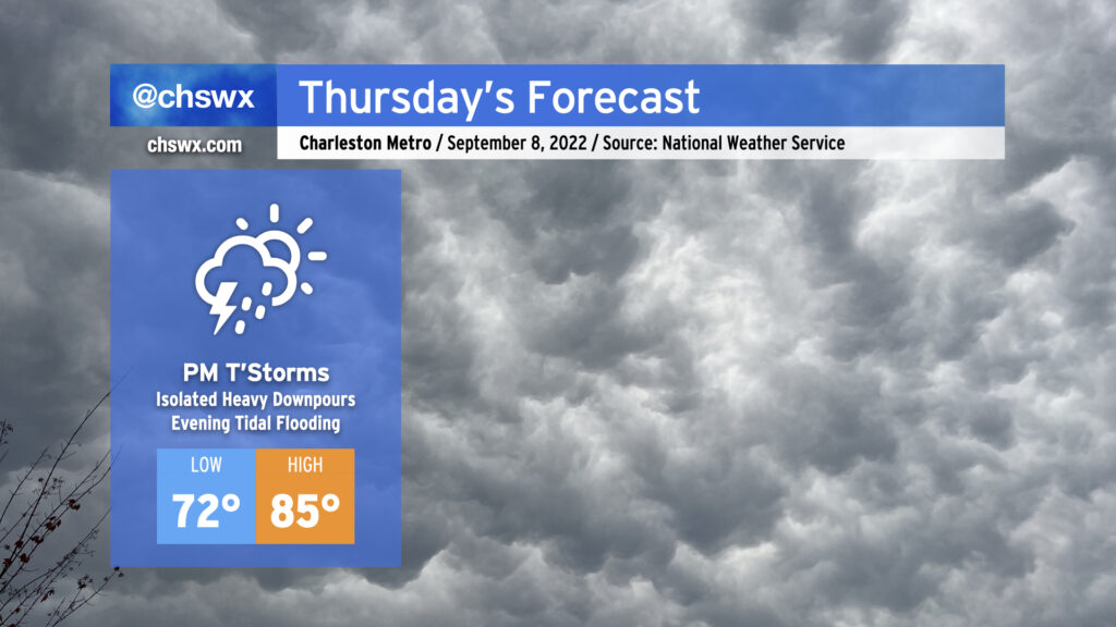
We transition back to a more active pattern beginning Thursday as a front gets through and stalls out nearby while the upper-air configuration aims a steady stream of moisture and disturbances at us for a few days. While it looks like we start the day mostly dry, expect showers and storms to develop in the afternoon and evening hours. Rain will be locally heavy at times, with the potential for isolated bouts of freshwater flooding. The increase in cloud cover and shower activity will help limit highs to the mid-80s, some 10° cooler than we’ve experienced the past couple days.
Tides will begin running well into flood stage in Charleston Harbor around the evening high tides beginning Thursday. Minor to moderate flooding is forecast Thursday evening around the 7:22 PM high tide, and this should be enough to close a few roads downtown regardless of any rain. If it rains heavily, of course, this will certainly lead to a more widespread flooding event, so we’ll be watching downtown closely on Thursday and over the next few evenings in general.
Rain chances continue to head up Friday into the weekend as precipitable water values surge well past 2″. The risk for flooding will increase accordingly across the area, and mixing in the higher tides, we could be in for a busy few days downtown. Stay tuned to forecast updates as we close out the work week and head into the weekend.