Weekend forecast: On & off downpours
The weather pattern remains fairly active heading into the weekend, and there will be a continued risk for tidal flooding around times of high tide. It won’t rain all the time, though.
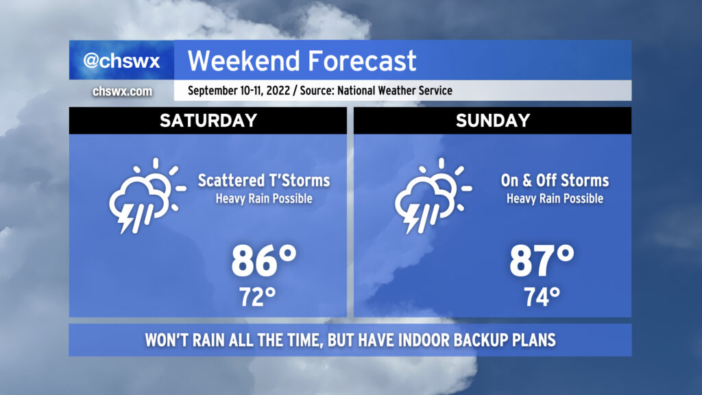
We enter Saturday with a front draped near the coast. This front will begin to lift northward during the day; this will focus the potential for heavier rain a little more inland than we’ve seen the past couple days. We may have a few showers around in the morning, but expect more robust showers and thunderstorms to initiate in the vicinity of the front by mid-afternoon. As mentioned, these will be on and off storms, and it won’t rain all day. Be flexible with outdoor plans and be ready to head inside at a moment’s notice in case storms threaten. Temperatures will head into the mid-80s ahead of showers and storms as we get on the warmer side of the front.
We’ll start to see some changes in the upper-air configuration on Sunday as the cutoff low starts to open up and lift out as a trough comes out of the central US. The moisture tap will remain wide open, and with the additional energy from the trough, we should see on and off showers and thunderstorms particularly in the afternoon and evening hours. Heavy rain remains a chief concern as precipitable water values range from 2-2.2″. Temperatures will run in the mid-80s once again ahead of any showers and storms.
We will still be contending with the risk for tidal flooding around times of high tide. Minor flooding will be possible Saturday morning around 7-11am, while moderate flooding will become a possibility Saturday evening around 7-11pm. Another couple rounds of minor flooding will be possible again with Sunday’s high tides, though we’ll see less severity with those overall as winds start to lose some of that more easterly onshore component.