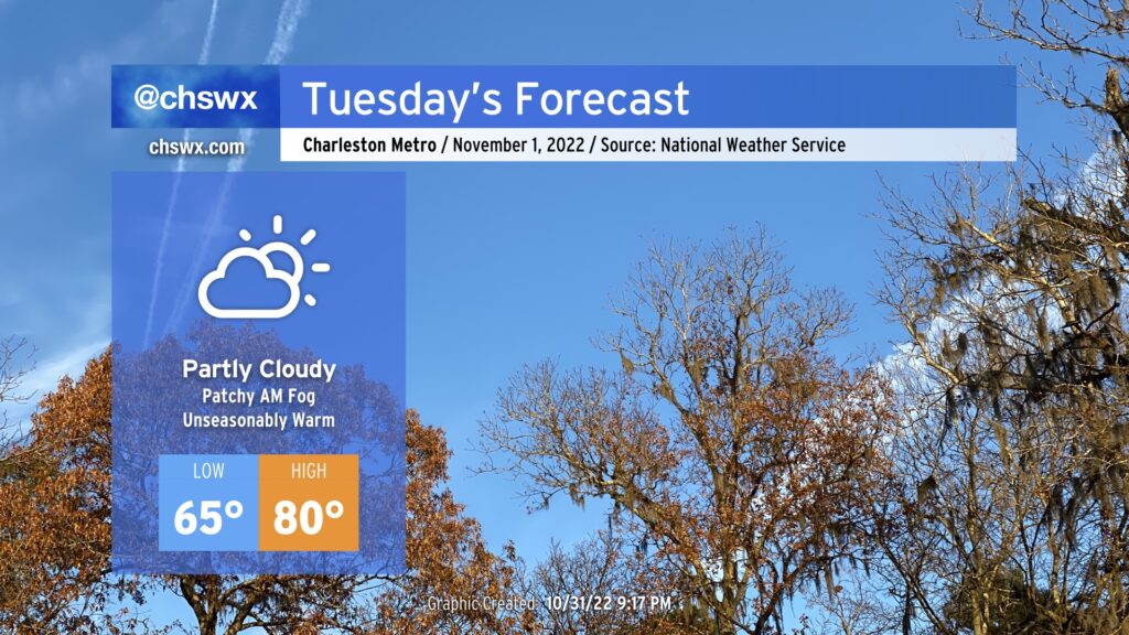
Tuesday: Cold front passes, but still unseasonably warm

A cold front will push offshore Tuesday allowing dry high pressure to build into the area from the west. Before the front gets offshore, though, patches of fog — perhaps dense fog — will be possible in the morning as lows only bottom out in the mid-60s, a rather warm start to the first day of November.
Slightly cooler and drier air will filter into the area once the cold front has passed, but ridging aloft will help temperatures head to about 80° once again in the afternoon with ample sunshine peeking through scattered clouds. Rain-free conditions are expected.
We keep a rain-free forecast heading into the rest of the week, with more onshore flow helping to curb temperatures closer to normal especially as we head into Thursday and Friday. 80s look to return for the weekend before our next rain chance next Monday.