Rest of the work week: Very warm stretch leads up to a Friday front
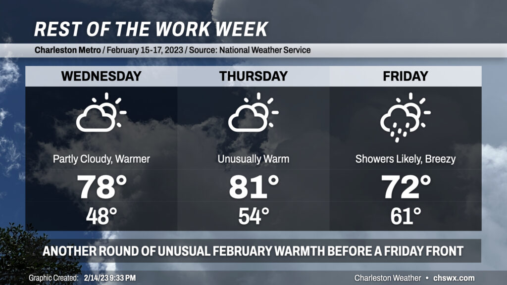
After reaching a lovely 70° on Valentine’s Day, we will climb even higher into the 70s for Wednesday as southerly flow on the back side of high pressure and ridging aloft turns the heat pump up. We’ll see a little more in the way of cloud cover, but still expect plenty of sunshine.
Thursday turns even warmer as a cold front gets closer and compressional heating starts to come into play a bit more. Expect highs to top out in the low 80s with a mix of sun and clouds. Incredibly, this will not even be close to a record — the record high of 87°, set in 1989, looks to remain solidly intact.
Rain returns to the weather picture on Friday, though unlike the last few weeks, it won’t hang around for the weekend. Expect highs to top out early in the day around 72° before the front and its associated showers arrive in the area. Said front cools us off below normal for Saturday before a little rebound in temperatures for Sunday, but the operative thing here is that the sun will be out for both days this time — quite a rare occurrence lately.