Tuesday: One more nearly record warm day, then we cool off
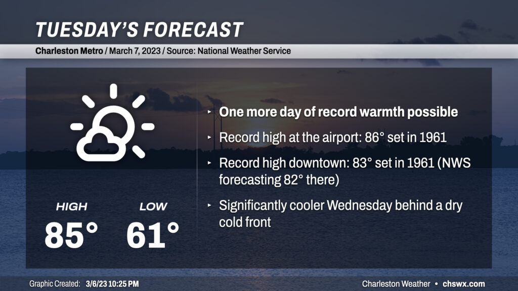
We’ve got one more day in the 80s coming up for Tuesday before the May-like warmth takes a backseat to more seasonable March temperatures. Temperatures will soar into the mid-80s in most spots except at the immediate coast as winds out of the west and northwest pin the seabreeze. We look to threaten record highs both at the airport and at downtown Charleston one more time — 86° and 83°, respectively, both set in 1961 — before a cold front sweeps through the area in the late afternoon/early evening hours.
Dewpoints will fall throughout the day as low-level moisture mixes out into an increasingly dry airmass. Once the front gets through, temperatures should hold in the upper 70s before falling quickly once daytime heating is lost. The front will pass through with little fanfare other than a wind shift more toward the north and then the northeast as cool high pressure builds in behind it. We’ll bottom out on Wednesday in the mid-to-upper 40s — easily the coolest start to a day since mid-February — and only top out in the mid-to-upper 60s in the afternoon, perhaps as much of a 20° drop from Tuesday’s high!