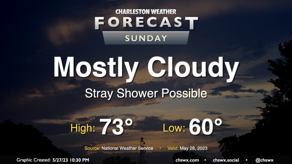
Sunday’s forecast: Improvement begins

We are through the worst of our experience with the coastal storm that has been bothering us for the better part of two days, and improvement will start to show itself on Sunday. We should see showers mostly shut down around daybreak or so, but I’m not sure a stray or two can be totally discounted throughout the day. We should start to see some breaks in the clouds, and by the evening, I suspect we’ll have at least some sunshine to close out the day. Temperatures will remain well below normal for this point in the year, topping out in the low 70s after starting the day around 60°.
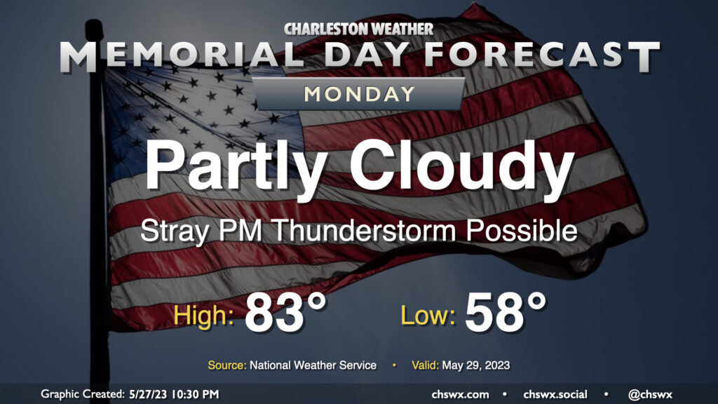
Memorial Day: Turning warmer, a few PM thunderstorms possible

We will get Memorial Day off to a crisp start as lows bottom out in the upper 50s, but our warming trend will continue as highs top out in the low 80s in the afternoon. Expect partly cloudy skies for the most part, with a few thunderstorms possible later in the day as the seabreeze pushes inland and an upper low moves on by. Storm motions will be toward the coast, so if you are headed to the beach this Memorial Day, keep an eye on the western sky and be ready to move indoors if thunderstorms approach. Otherwise, don’t forget to wear sunscreen and enjoy warming up a bit after a couple really dreary days.
Follow my Charleston Weather updates on Mastodon, Bluesky, Instagram, Facebook, or directly in a feed reader. Do you like what you see here? Please consider supporting my independent, hype-averse weather journalism and become a supporter on Patreon for a broader look at all things #chswx!