Friday & the weekend: Storms are back, peaking Saturday
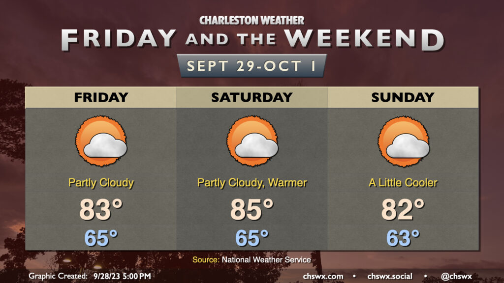
A stalling cold front and a cutoff low aloft will combine to bring shower and storm chances back to the area starting Friday afternoon, peaking on Saturday, and then gradually tapering on Sunday. Highs on Friday top out in the low 90s, with the best chance for showers and thunderstorms generally being found along and ahead of the seabreeze. With the upper low drifting across the area Saturday, showers and thunderstorms could fire at any point, with some guidance hinting at Saturday getting off to a bit of a soggy start as showers and thunderstorms drift inland. Highs on Saturday top out in the mid-to-upper 80s given the rain and cloud cover. We’ll see the upper low lift out of the area on Sunday, decreasing the risk of showers and storms somewhat, but coverage should still be decent given the nearby front.
Record high set on Thursday
A record high of 96° was set on Thursday at Charleston International Airport, breaking the record of 95° that was first set in 1941 and subsequently tied in 1947 and 2019. This should do it for record highs for a bit as a more unsettled pattern returns to the area, thankfully.
Tropics: Lee on its way to Category 5
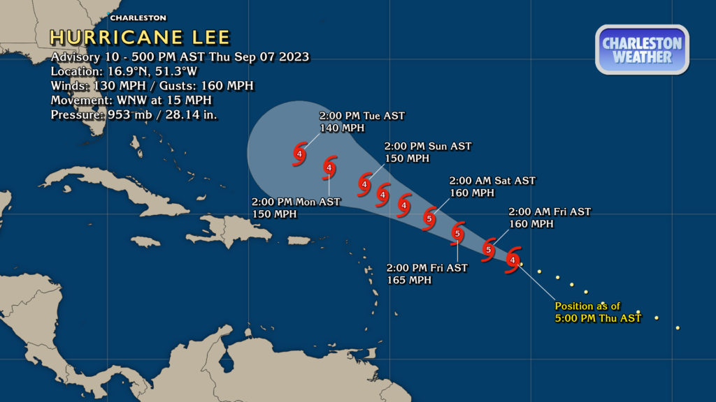
Hurricane Lee has rapidly intensified into a formidable Category 4 storm this afternoon, with max winds of 130 MPH as of the 5PM advisory. It’s forecast to become a Category 5 storm with max winds around 160 MPH by later tonight as rapid intensification continues a little while longer. Lee’s strength peaks Friday, with a slow drawdown in max winds shown in the NHC forecast to accommodate possible eyewall replacement cycles that will broaden the storm’s wind field and cut the max winds down some. Fortunately, this rapid intensification is taking place away from land, and Lee’s peak intensity will be reached as it passes north of the Leeward Islands.
Lee’s forward motion is forecast to slow down early next week as steering currents weaken. While beyond the range of the official NHC forecast, guidance continues to largely be unanimous in a northward turn taking place sometime in the middle of next week as Lee is picked up by a trough. Where that turn happens is the difference between a major hurricane for Bermuda and, well, not, and that level of detail is largely unknowable at this range. It still appears quite unlikely that Lee will bother us aside from an elevated rip current risk due to swell from the storm beginning next week, but we’ll keep watch in case the atmosphere has other plans.
Follow my Charleston Weather updates on Mastodon, Bluesky, Instagram, Facebook, or directly in a feed reader. Do you like what you see here? Please consider supporting my independent, hype-averse weather journalism and become a supporter on Patreon for a broader look at all things #chswx!