Thursday: Drying out, still cool

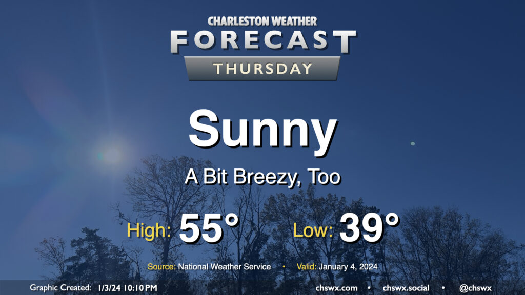
A brief round of rain on Wednesday night will depart the area by daybreak Thursday, leaving behind a little bit cooler air as well as unfettered sunshine. We start the day in the upper 30s to around 40° before warming to the mid-50s in the afternoon — a few degrees below early January normals (60°). It’ll be a little breezy, with winds out of the north and northwest around 10-15 MPH, which will be a contributor to keeping high temperatures below normal despite all the sunshine.
Friday & the weekend: Storm system affects the area Saturday

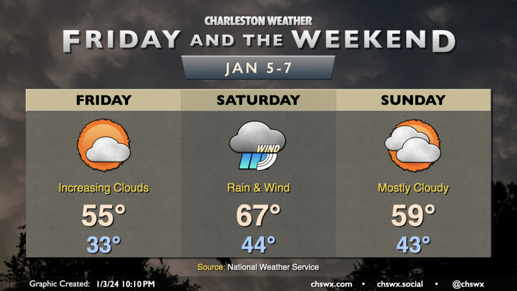
Tranquil weather continues on Friday. After a near-freezing start in the metro (and likely touching freezing elsewhere away from the coast), we’ll warm back to the mid-50s under gradually increasing clouds as a storm system approaches the area, bringing rain into the area overnight Friday into a fair bit of Saturday. It’ll be a windy rain which could be heavy at times. It’ll be the warm outlier in these first few days of 2024, too, as a warm front lifts north of the area before the storm system’s cold front moves by. Expect to start the day in the mid-40s, warming to the mid-to-upper 60s in the afternoon before the front moves through. High pressure then returns for Sunday and Monday ahead of what could be an even more potent storm system on Tuesday.
Watching Tuesday’s weather

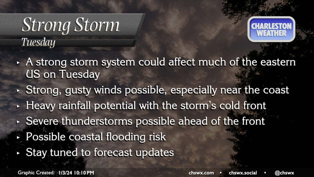
We’ll want to keep a close eye on how the forecast evolves as we approach Tuesday. Guidance is honing in on a very strong, sprawling low pressure system across much of the eastern US. While exact impacts are tough to pin down, there will be the risk for some higher-impact weather during the day Tuesday. These impacts could include stronger winds, heavy rain, a few severe thunderstorms, and maybe even a risk for some coastal flooding. There’s still plenty of time for things to evolve, but it certainly is worth watching. Stay tuned to forecast updates as we head into the weekend.
Follow my Charleston Weather updates on Mastodon, Bluesky, Instagram, Facebook, or directly in a feed reader. Do you like what you see here? Please consider supporting my independent, hype-averse weather journalism and become a supporter on Patreon for a broader look at all things #chswx!