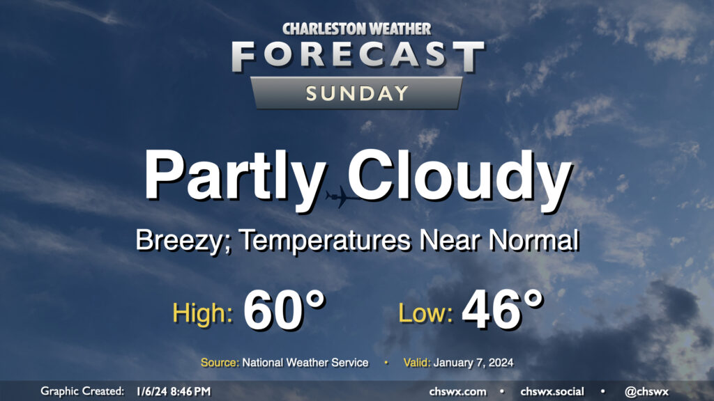
Sunday’s forecast: Partly cloudy and breezy

After a rather warm Saturday — the warmest day of the young year so far with a high of 75° — temperatures return to normal on Sunday as cooler and drier air blows in behind a cold front. We start the day in the mid-40s, but the ongoing cool air advection will hold highs to around 60° in the afternoon despite partly cloudy to mostly sunny skies. It’ll be another breezy day; expect winds generally 10-15 MPH out of the west with gusts approaching 25-30 MPH once again.
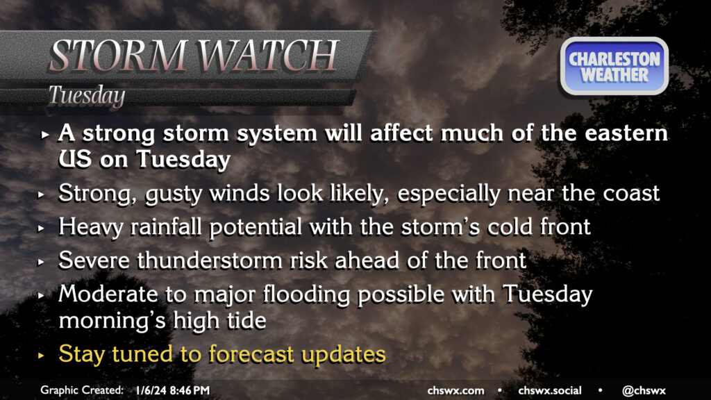
Latest on Tuesday’s storm system

The forecast remains on track for a potent storm system to affect the area on Tuesday. The main piece of energy is coming ashore in the Pacific Northwest and will trek across the southwest US tomorrow and Monday, spawning surface low pressure across the mid-South that will intensify fairly quickly as it moves toward the Great Lakes. As it intensifies, it will butt up against high pressure across the Northeast, pinching a pressure gradient across our neck of the woods which will drive winds up quite a bit, regardless of thunderstorms. This could drive tidal departures fairly high, and may contribute to moderate to major coastal flooding in Charleston Harbor with Tuesday morning’s high tide.
From there, concern will turn to the risk for strong to severe thunderstorms as a squall line looks to be rumbling across Georgia and the Carolinas during the day. An exceptionally strong 850mb low-level jet — perhaps approaching 80 knots — will closely accompany the line. Shear looks quite good as well, but as always, the question will be how much instability can develop ahead of the line. If some instability does materialize, straight-line damaging winds and a tornado or two are possible. Heavy rain will also be a concern, but it should at least miss the time of high tide this go-around. As always, stay tuned as the forecast is fine-tuned heading into Tuesday.
Follow my Charleston Weather updates on Mastodon, Bluesky, Instagram, Facebook, or directly in a feed reader. Do you like what you see here? Please consider supporting my independent, hype-averse weather journalism and become a supporter on Patreon for a broader look at all things #chswx!