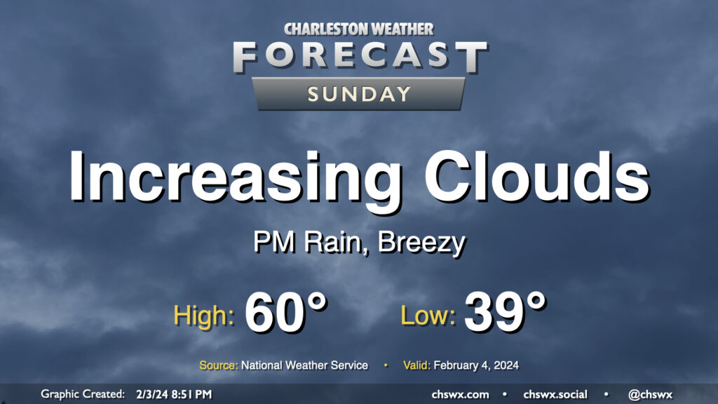
Sunday: Turning breezy and unsettled as a storm system approaches

Our run of quiet weather comes to a brief pause starting Sunday as a storm system approaches the area. We’ll see cloud cover head up throughout the day, and showers will be increasingly possible as we get into the later afternoon and evening hours. Expect temperatures to start in the upper 30s to around 40°, with highs topping out around 60°. Northeasterly winds around the storm system will be increasing as the day goes on, and it could be a bit gusty by afternoon, so keep that in mind as well as you head out and about.
Storm impacts through Monday: Coastal flooding, heavy rain
Model guidance has been honing in on a strong band of rain developing offshore and pointing at the metro area overnight Sunday into Monday morning. The loop above, from the 18z HRRR, shows this in fairly good detail. This rainfall could be heavy at times, with some spots receiving upwards of 2″ or more of rain before it’s all said and done, with the heaviest rain generally at the coast and along and south/southwest of I-26. It could be the most significant rainfall of the short year so far for some of us.
The stiff northeasterly winds will continue overnight Sunday into Monday, with gusts 30-35 MPH at times. This wind direction is favorable for driving water levels up in Charleston Harbor, with moderate coastal flooding certainly a concern for very early Monday morning. High tide peaks around 3:24am Monday. With heavy rain a good bet, we may see more widespread flooding issues downtown. We’ll continue to keep an eye on model and tide trends heading into Monday — stay tuned.
Follow my Charleston Weather updates on Mastodon, Bluesky, Instagram, Facebook, or directly in a feed reader. Do you like what you see here? Please consider supporting my independent, hype-averse weather journalism and become a supporter on Patreon for a broader look at all things #chswx!