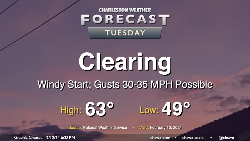
Tuesday: Gusty start to the day as skies clear

The storm system that’s soaked us on Monday will lift away from the area on Tuesday, clearing us out but also producing a period of gusty winds overnight as high pressure starts to build in from the west. Watch for gusts 30-35 MPH at times, especially on bridges and overpasses, that will affect the area through the morning commute. We should see gusts calm down gradually as the day goes on, thankfully. Clouds will depart and temperatures will warm to the low-to-mid-60s after an upper 40s start, yielding a pleasant and seasonable mid-February day.
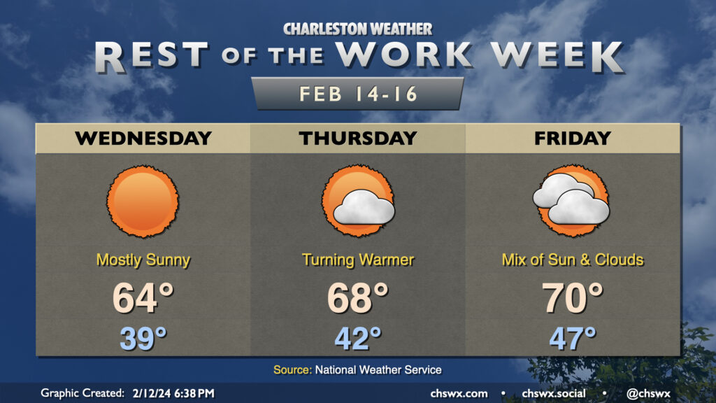
Rest of the work week: Warming back up

Quiet and seasonable conditions continue heading into Wednesday. Temperatures start in the upper 30s — as chilly as we’ll be this week — and warm to the mid-60s under mostly sunny skies. We’ll then commence a warming trend to close out the work week; Thursday will start in the low 40s and peak in the upper 60s in the afternoon, while we should reach 70° on Friday despite increasing cloud cover ahead of another round of showers that’ll affect the area over the weekend.
Follow my Charleston Weather updates on Mastodon, Bluesky, Instagram, Facebook, or directly in a feed reader. Do you like what you see here? Please consider supporting my independent, hype-averse weather journalism and become a supporter on Patreon for a broader look at all things #chswx!