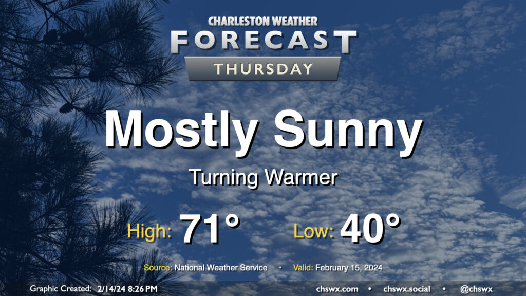
Thursday: Back to the 70s

We got close to 70° on Wednesday, but we should reach it on Thursday with another day of mostly sunny skies under the influence of high pressure. We start the day around 40° and warm quickly to the upper 60s by midday, and will likely peak in the low 70s during the early part of the afternoon. Winds will shift to the southwest and will pick up a little in the afternoon, with speeds around 10 MPH becoming common later in the day.
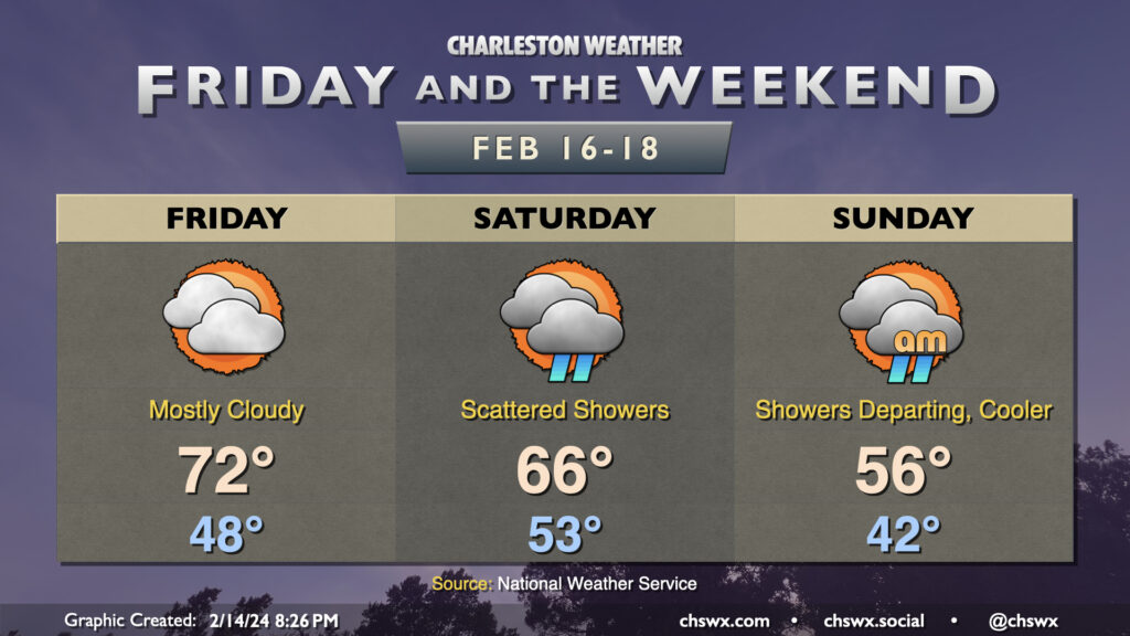
Friday & the weekend: Turning cloudy with a few showers Saturday, then cooling off

Friday will bring one more day in the low 70s as cloud cover thickens ahead of a cold front that moves by on Saturday. The front itself should be reasonably dry with meager moisture return ahead of it, though a few showers will be possible starting in the afternoon through early Sunday morning. Temperatures on Saturday top out a few degrees cooler than they did on Friday — generally expect mid-60s highs. The storm system departs on Sunday, and we’ll cool off in its wake. Expect highs in the mid-50s, several degrees below mid-February normals, as clouds slowly break throughout the day. It’ll be Monday before sunshine becomes the dominant feature in the sky again, though, and we’ll keep that going into the middle of next week as temperatures gradually warm back near 70° by Wednesday.
Follow my Charleston Weather updates on Mastodon, Bluesky, Instagram, Facebook, or directly in a feed reader. Do you like what you see here? Please consider supporting my independent, hype-averse weather journalism and become a supporter on Patreon for a broader look at all things #chswx!