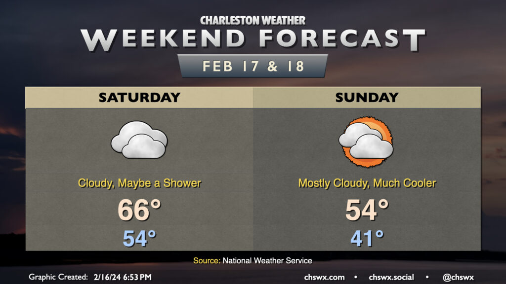
Weekend forecast: More clouds than not, turning cooler

This latest stretch of 70°+ weather comes to an end Saturday as a cold front moves through the area. Dry air near the surface will preclude much, if any, rainfall from affecting the area as the front moves by, though a light shower or two can’t be totally discounted. We start the day in the mid-50s before warming to just the mid-60s in the afternoon as the front moves by and we start to cool off.
Clouds struggle to break up post-front on Sunday, but we should see at least a few peeks of sun. Still, it’ll turn much cooler — we start in the low 40s, but will only warm to the mid-50s at best with all the cloud cover around. This chill doesn’t hang around particularly long, though, as we’re back in the 60s on Monday and approaching 70° later next week.