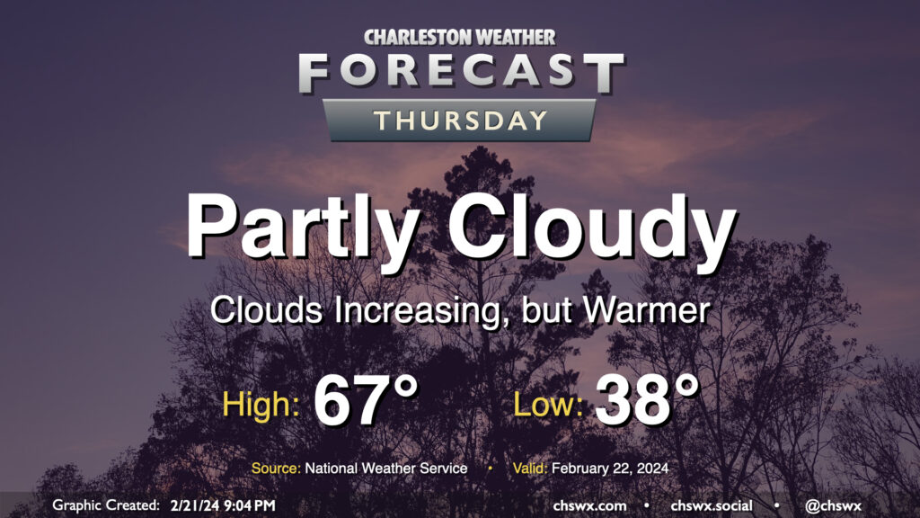
Thursday: A little warmer with increasing cloud cover ahead of a Friday front

One more quiet day of weather lies ahead before a brief round of rain for Friday. Temperatures on Thursday start in the upper 30s — still running a little below normal for this point in February — but warm to the mid-to-upper 60s in the afternoon as southerly flow moderates the airmass a little bit more. We’ll start the day on the clear side, but clouds will gradually increase ahead of a cold front that’ll affect the area on Friday with the first shower chances in a few days.
Friday & the weekend: A couple cold fronts to cool us off

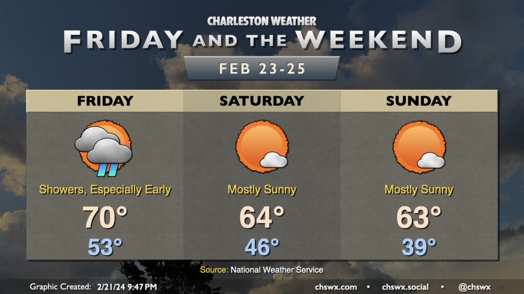
The best chance of rain over the next few days will arrive Friday with a cold front. Scattered to numerous showers will accompany the front, particularly in the morning through early afternoon, before clearing the area later Friday night. Temperatures will start in the low to mid-50s, warming to around 70° in the afternoon despite the showers in the area.
Friday’s front clears out in time for Saturday. We start the day in the mid-40s, warming to the mid-60s in the afternoon under mostly sunny skies before a second front moves by Saturday evening. There’s an outside shot it could come with a shower or two, but the vast majority of us should stay dry. Sunday starts out even cooler behind that reinforcing front, with lows in the upper 30s yielding to highs in the low to mid-60s in the afternoon.
The cool air doesn’t last, though: high pressure quickly heads offshore, and by Monday we’re back in the 70s, with temperatures turning toward the upper 70s to around 80° by mid-week — much warmer than normal to close out February (and, for that matter, climatological winter).
Follow my Charleston Weather updates on Mastodon, Bluesky, Instagram, Facebook, or directly in a feed reader. Do you like what you see here? Please consider supporting my independent, hype-averse weather journalism and become a supporter on Patreon for a broader look at all things #chswx!