Thursday: Improving weather heading into Easter weekend

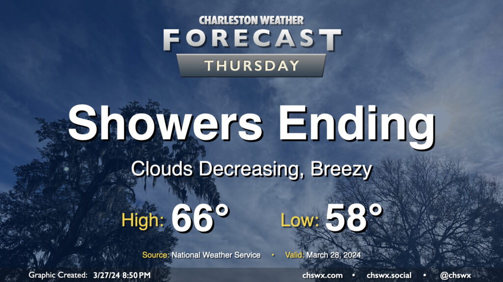
Showers will be coming to an end Thursday morning, yielding a quiet and increasingly warm period for Good Friday and Easter weekend. We should see the rain exit the area by midday, and from there, cloud cover will diminish. It’ll be a cool day in the wake of a cold front; expect highs to only top out in the mid-60s in the afternoon. The breeze will kick up at times as cooler air moves into the area behind the front as well, but it shouldn’t be too terribly gusty, either.
Friday & the weekend: Lots of sun with increasingly warmer weather

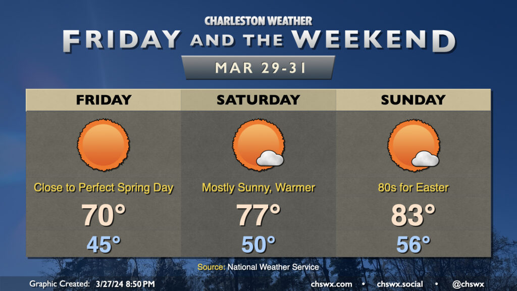
A beautiful weekend of weather is on tap as high pressure remains the dominant weather feature. Friday in particular looks excellent: we start the day in the mid-40s before warming to around 70° in the afternoon under copious amounts of sunshine — a near-perfect spring day. For those who like it warmer, you’ll get your wish Saturday and especially on Easter as highs trend into the mid-to-upper 70s Saturday and then into the low 80s on Sunday with just a few passing clouds from time to time.
Follow my Charleston Weather updates on Mastodon, Bluesky, Instagram, Facebook, or directly in a feed reader. Do you like what you see here? Please consider supporting my independent, hype-averse weather journalism and become a supporter on Patreon for a broader look at all things #chswx!