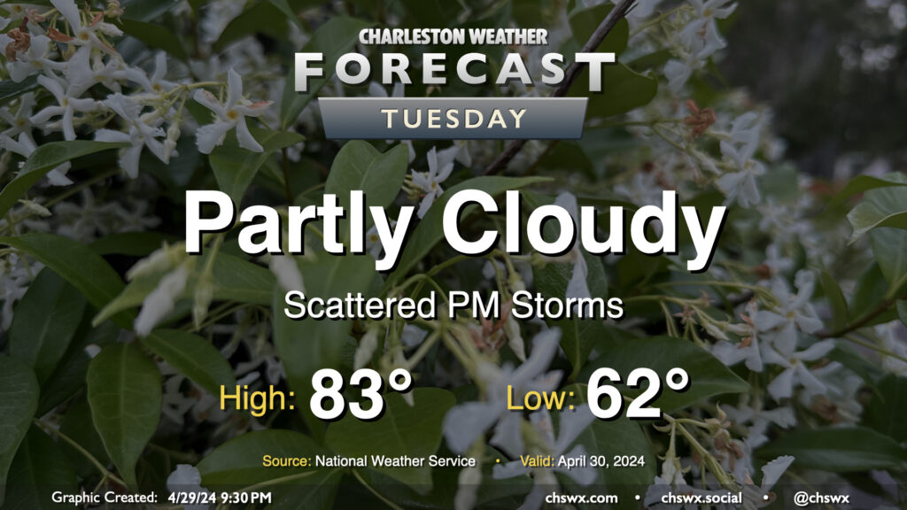
Tuesday: A few late-afternoon storms last into the overnight

Our next chance of wet weather arrives later Tuesday as a disturbance aloft moves into the area. We start the day on a dry note, though, and not everyone will see rain all the time heading into Tuesday afternoon and evening. Expect generally partly cloudy skies away from the scattering of storms. Lows will run in the low 60s, yielding to low-to-mid-80s in the afternoon.
Showers and thunderstorms will be possible overnight Tuesday into Wednesday morning, which may have some relatively minor commute impacts depending on how quickly the disturbance can depart. Stay tuned.
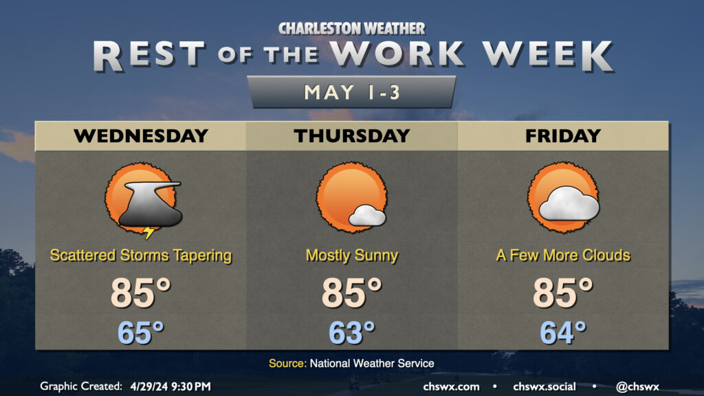
Rest of the work week: Seasonable warmth to begin May

We’ll start May with a few lingering showers or storms on Wednesday as the disturbance departs and an upper ridge begins to build back in. Expect a warm start to the day with lows in the mid-60s yielding to highs in the mid-80s as cloud cover departs. Thursday will be very sunny and could run a little warmer, too, with highs in the mid-to-upper 80s (especially inland). A few more clouds arrive Friday, but we stay warm and rain-free with lows in the mid-60s and highs in the mid-80s once again. Shower and thunderstorm chances return to the forecast over the weekend as another disturbance moves in, but there’s no washout expected, either.