Thursday: Another nice day; clouds increase for the weekend
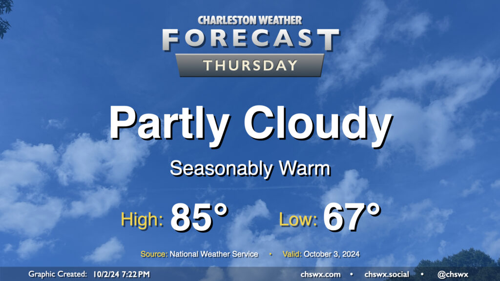
Quiet and seasonably warm weather continues for Thursday. We’ll start the day in the mid-to-upper 60s, warming to the mid-80s in the afternoon under partly cloudy skies. Dewpoints will run in the upper 60s, so it’ll still feel a touch humid, but it won’t be too bad overall. The only weather-related issue we could run into tomorrow would be a little bit of salt water on the roads around the 9:01am high tide. Water levels should peak around 7′, which is right where we generally start to see coastal flooding occur. Widespread impacts aren’t expected, but the usual trouble spots may once again be troublesome, particularly around Hagood and Fishburne.
Friday & the weekend: A few more clouds, but staying dry
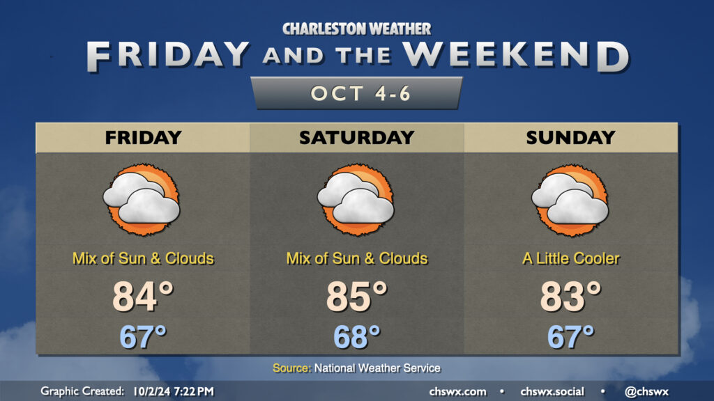
A couple dry frontal passages kick up cloud cover a bit for the weekend, but the overall sensible weather will remain fairly status quo with upper 60s to start each day and mid-80s each afternoon. Normal highs for early October generally run in the low 80s, so we will continue to run above normal for the next few days. Tides will continue to flirt with flood stage each morning, but salt water impacts should be quite limited if they occur at all.
If you’re looking to cool off a little bit more, a front should swing through Monday into Tuesday. A stray shower or storm will be possible with this front, but high pressure building in behind it should cap highs to the upper 70s on Wednesday. We’ll see how this plays out — we’ve had a few teases so far this fall — but climatologically speaking, we will be turning cooler as time goes on.
Follow my Charleston Weather updates on Mastodon, Bluesky, Instagram, Facebook, or directly in a feed reader. Do you like what you see here? Please consider supporting my independent, hype-averse weather journalism and become a supporter on Patreon for a broader look at all things #chswx!