Thursday: Much-needed rain continues

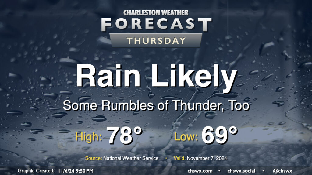
Rain continues on Thursday as northward-moving moisture from Hurricane Rafael interacts with a front. As far as average temperature goes, it’s going to be a particularly warm November day: expect to start the day in the upper 60s to around 70°, with highs topping out around 78° (largely governed by the expected rain). If it verifies, the low of 69° would be a new record warm low temperature for November 7, breaking the record of 68° set in 2018.
Rainfall totals should continue to climb across the area, with another 1-2″ possible across much of the metro overnight into Thursday evening. Expect the best chances for rain during the morning, with some scattering of the activity as we get into the afternoon and evening hours. Flooding doesn’t look to be a major concern here, but if training of rain does occur, some localized issues can’t be ruled out.
Friday & the weekend: Turning drier, but cloud cover hangs around

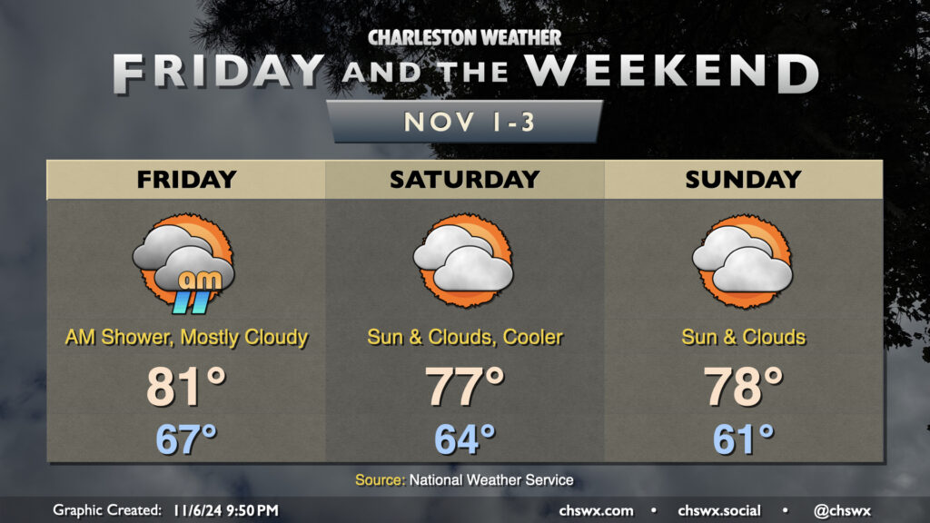
A few lingering showers will be possible Friday morning, but high pressure ridging in aloft will put the kibosh on much more in the way of rain through the weekend. Temperatures peak in the low 80s on Friday before a backdoor front nudges southward across the area, cooling us off a bit for Saturday and Sunday. Despite this, temperatures will run well above early November norms, with lows in the 60s each morning followed by highs in the mid-to-upper 70s. At this point in November, our normal high is around 72°, with normal lows in the upper 40s, so we remain well north of those marks and look to stay there for the foreseeable future, with similar temperatures continuing well into next week.
Follow my Charleston Weather updates on Mastodon, Bluesky, Instagram, Facebook, or directly in a feed reader. Do you like what you see here? Please consider supporting my independent, hype-averse weather journalism and become a supporter on Patreon for a broader look at all things #chswx!