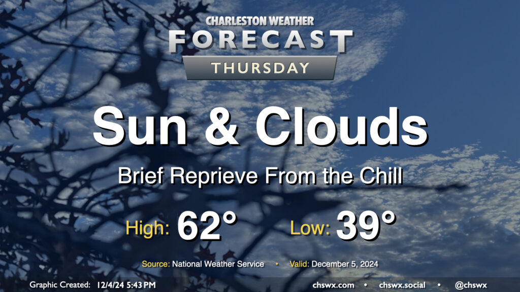
Thursday: Brief reprieve from the chill

A warmer day is on tap Thursday as we sit between one Arctic-sourced high pressure system moving away and another approaching the area that’ll chill us right back out for Friday. We start the day in the upper 30s to around 40°, which will run much warmer than we ran on Wednesday morning after lows in the 20s for much of the area (and even some upper teens in northern Berkeley County!). Temperatures will top out in the low 60s in the afternoon as gusty southwest to westerly winds (perhaps approaching 30 MPH at times) ahead of the next front keep us a little warmer. We should see the front come through with little fanfare other than an uptick in cloud cover, especially in the first part of the day.
Friday & the weekend: One last shot of cold air, then leveling out

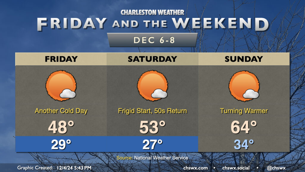
The aforementioned front deals us another shot of very cold air for Friday. Temperatures on Friday will plummet back to the upper 20s by morning, warming to just the upper 40s once again despite mostly sunny skies. Saturday morning will again run in the mid-20s, with freezing temperatures possible by late evening Friday, so you’ll want to keep up cold weather protocols for pets and plants. Saturday will warm a little more than Friday did, though, with low to mid-50s expected for highs — still below normal for this point in December, though.
The pattern starts to change a bit on Sunday as high pressure starts to ridge in aloft. We get off to a cold, but above-freezing start on Sunday morning as lows drop to the mid-30s. Then, temperatures rebound nicely to the mid-60s in the afternoon, right near December norms. The entire weekend looks rain-free, so no concerns for parades or the like.
Above-normal temperatures are then expected to continue for at least the first part of the new work week, but that’ll come with some rain chances as well. Right now, rain chances look to peak Tuesday into Wednesday. We can expect a return to the 70s Monday and Tuesday, with upper 60s expected on Wednesday.
Follow my Charleston Weather updates on Mastodon, Bluesky, Instagram, Facebook, or directly in a feed reader. Do you like what you see here? Please consider supporting my independent, hype-averse weather journalism and become a supporter on Patreon for a broader look at all things #chswx!