Sunday: Showers and storms remain possible as Chantal departs
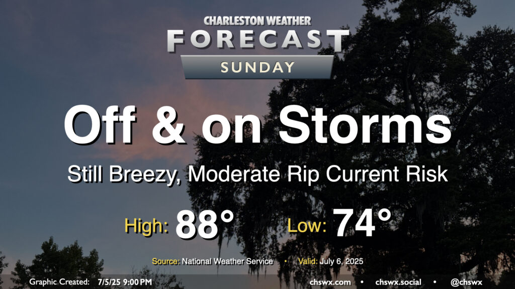
Tropical Storm Chantal will make landfall overnight somewhere between Georgetown and Myrtle Beach, keeping the risk for some showers around overnight into Sunday. We should see an uptick in shower and thunderstorm activity as the heating of the day helps to wring out some wrap-around moisture on the southwest side of Chantal’s circulation. Overall, though, this storm hasn’t been a major rainmaker for the area, and that shouldn’t change much on Sunday with the scattered nature of the individual showers and thunderstorms. Severe weather is not expected as we sit within the weaker side of Chantal’s circulation, but the risk for rip currents will continue and we should still have some breezy conditions at the beaches and on the bridges. Temperatures will start in the mid-70s again, but highs should stay below 90° for one more day with the clouds and rain in the area (though we should see a decent amount of sun between showers, too).
By the way, our 90° streak ended today at 21 days — the high at the airport topped out around 85°. Don’t worry, though — we’ll kick off a new streak starting Monday, and temperatures for the upcoming work week will certainly have that July feel to them, complete with Advisory-level heat indices.